Three yellow weather warnings for rain in Scotland have been issued by the Met Office with potential risk of flooding and disruption to travel.
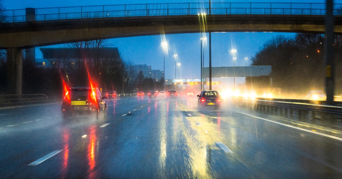
Forecasters said up to 150mm of rainfall expected within a 24-hour period in the worst affected areas.
The Met Office warnings cover south-west Scotland and the Lothian borders on Monday afternoon and evening, and north-east Scotland for most of Wednesday and Thursday.
The forecaster said the rain on Wednesday and Thursday could be accompanied by strong winds of up to 60mph as the remnants of Hurricane Ernesto hit the UK.
People have been warned to expect delays to public transport, spray and flooding on roads, as well as potential power cuts and flooding in homes and businesses.
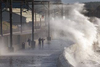
There was a small chance that large waves could result in injuries and danger to life in coastal areas on Wednesday and Thursday, the Met Office added.
The areas affected by the warning are:
- Perth and Kinross
- Stirling
- Na h-Eileanan Siar
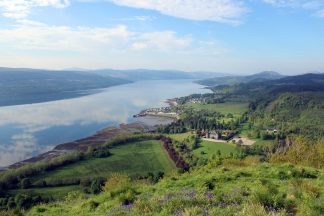
- Highland
- Argyll and Bute
- Inverclyde
- North Ayrshire
- Renfrewshire
- West Dunbartonshire

Insight Sean Batty STV News Meteorologist
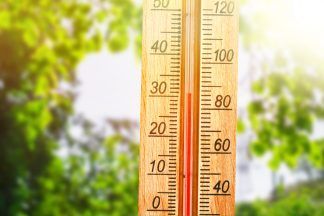
We’ve limped our way through summer with pretty standard weather – nothing too extreme either way.
As an example, in Renfrewshire the highest temperature this year is 25.3C at Bishopton, and that was recorded in May! If that ends up being our highest temperature of the year here then it’ll be the lowest annual maximum temperature since 2011.
Another example is Stornoway where the high for the year is astonishingly low at just 19.4C – again recorded in May. This could be the lowest maximum for more than 20 years – since 2001! Lerwick is slightly behind with a high of just 18.4C for the year.
None of this will change before the end of August, so unless September has some surprises up its sleeve, then these could well be our peak temperatures of the year. That said, September isn’t entirely out of the running – last year, several places set their annual temperature records in the early days of the month.
We’re now moving into the last two weeks of meteorological summer and it looks like things are going to go downhill very rapidly next week with the jet stream firing up and some storm systems being hurled towards us.
This weekend, Hurricane Ernesto will cross Bermuda and then brush the east coast of Canada early next week. After this it’s likely to get dragged across the Atlantic with our name on it later in the week – well the remnants of it.
This means next week is looking very unsettled, especially later in the week with gales and heavy rain. I’m only going to slightly caveat this, as the track could change allowing more settled and warmer conditions to develop instead – but at this stage that’s looks like a very low probability.
If the storm does track to the north of the country as expected, these strong winds will also coincide with the higher tides of the month, which could lead to large waves and some coastal issues.
Once this passes through it may open the door to more deep low pressure systems passing Scotland with further spells of strong winds.
So, while it may not be quite time to pack away your sun cream and patio set, it’s doubtful they’ll see much use in the near future. We can still hope for an Indian summer, but for now, prepare for more wind and rain.
Follow STV News on WhatsApp
Scan the QR code on your mobile device for all the latest news from around the country