 Adobe Stock
Temperatures plummeted, and snow fell on parts of the country on the coldest night of the season so far, as the Met Office warns unsettled conditions are coming.
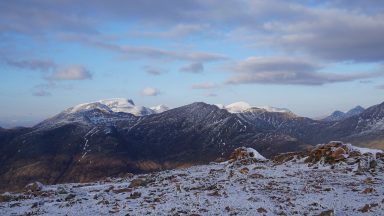
The weather service recorded a chilling -7.7C in Tulloch Bridge in the Lochaber area of the Highlands on Sunday night, amid a yellow warning for ice.
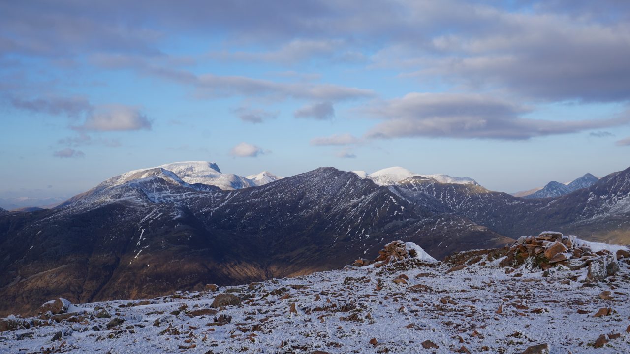
While the alert has since expired, conditions remain cold throughout the country, with the North East and Highlands reporting snowfall.
Some schools in Aberdeenshire were forced to delay opening due to issues and changes to transport services caused by road conditions.
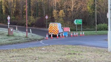
Highland Council is urging drivers to take care after overnight frost left road surface temperatures below zero across the region.
Ice and patches of snow have been reported on some higher routes, while council teams continue gritting priority routes, but there are no major disruptions.
In addition, southern areas of Scotland, such as Ayrshire, Dumfries and Galloway, and the Borders, will be under a yellow warning for snow from midnight on Monday until 11am on Tuesday.
The warning was due to last longer, but the Met Office has since brought the expiry time forward.
Forecasters warn that higher-level routes could see drifting snow, while lower areas will see some snow that will melt quickly.
What is the forecast for the rest of the week?
Tuesday and Wednesday remain unsettled, according to the Met Office, with rain affecting northern parts of the country.
While fog is expected in England and Wales, it is not expected to impact Scotland.

Insight Philip Petrie STV weather presenter
Overnight Monday into Tuesday, we will see a low-pressure system move in from the south, bringing a large band of rain to southern and central parts of Scotland. As this rain bumps into the cold air, we will see an increased risk of snow.
We could therefore see 1-5 cm falling on ground above 100m, but this will likely melt quickly throughout Tuesday morning. Some higher-ground locations above 300-400m could see around 5-15cm of snow accumulate.
Due to the time of the arrival of the snow, this could lead to travel disruption around rush hour on Tuesday morning, particularly on higher level routes, which is why the Met Office have today issued a yellow weather warning for snow.
This covers parts of Ayrshire, Lanarkshire, Midlothian, Dumfries & Galloway and the Borders. The snow is not limited to the warning area, but this is where we expect to see the most significant snowfall and impacts – amplified by a stronger easterly wind that could lead to some blizzard conditions.
The warning runs from midnight Tuesday until midday, at which point it is expected that the snow will slowly turn back to rain through the late morning and early afternoon.
Follow STV News on WhatsApp
Scan the QR code on your mobile device for all the latest news from around the country