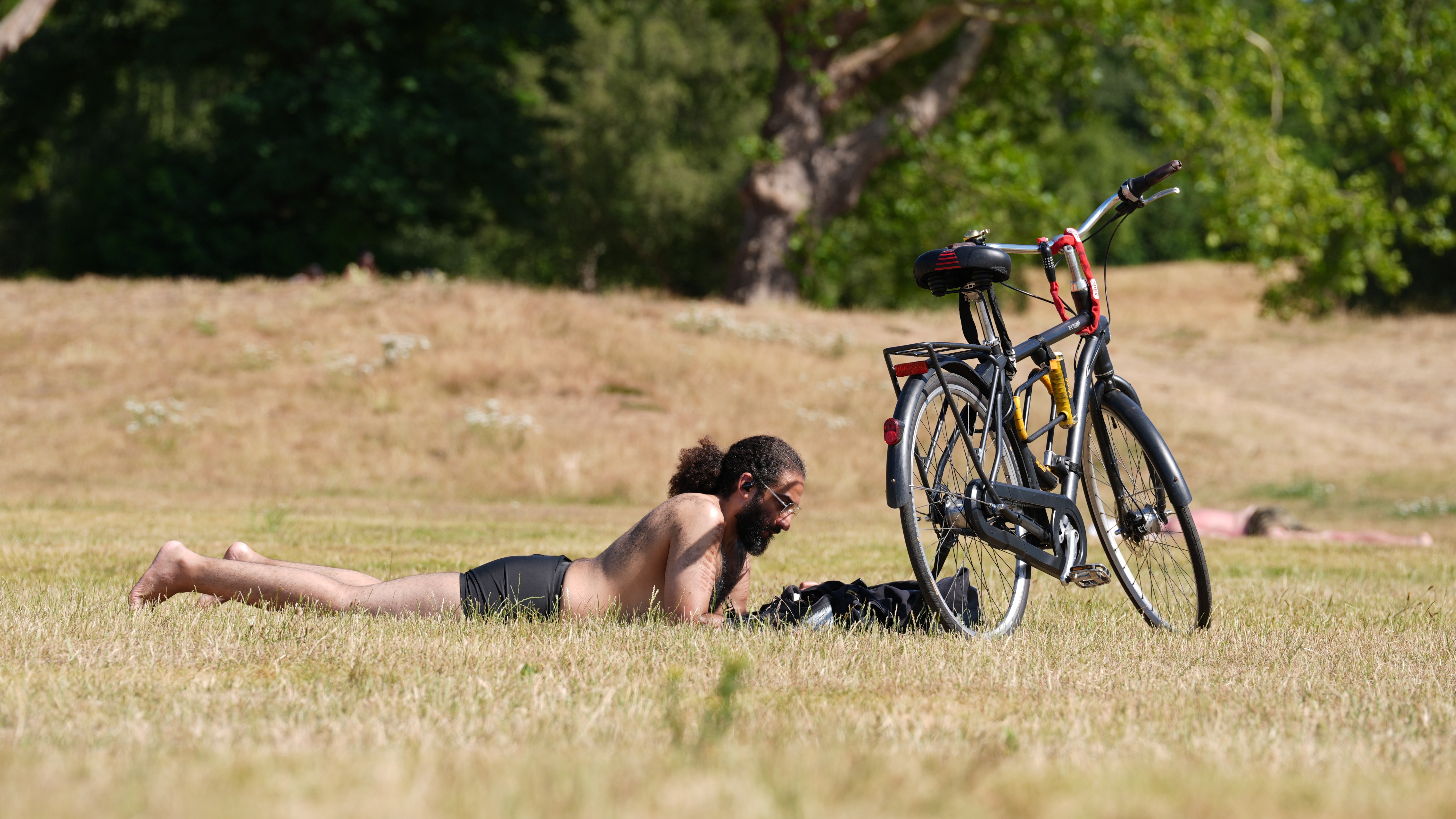
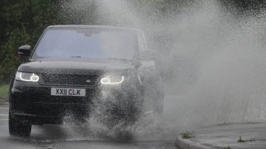
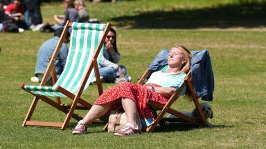
Storm Ciara is set to cause havoc this weekend as severe gale-force winds pummel the country.
Various yellow weather warnings for wind, rain and snow have been put in place from Saturday until Tuesday.
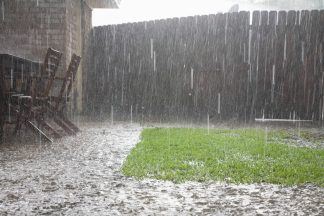
Strong winds will blow across Scotland from Saturday afternoon, while heavy rain is expected to hit Kelso in the Scottish Borders all the way to Dumfries on the west coast.
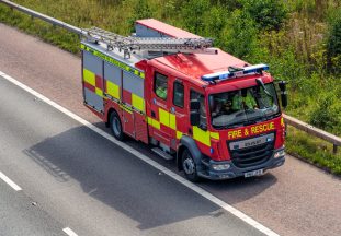
The Met Office is warning to expect travel delays by road, rail and ferry.
On Saturday, a number of CalMac ferry crossings were cancelled.
At around 3pm, Traffic Scotland advised that the Dornoch Bridge and Tay Road Bridge had been closed to high-sided vehicles.
Double-decker buses have also been prohibited from travelling across the Forth Road Bridge.
The Met office also warned that short-term loss of power “is likely” and there is danger of flooding to homes and businesses.
Some coastal routes and sea fronts could also be battered by spray and large waves.
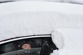
On Monday, heavy snow and strong winds will combine to cause disruption. The warning has been put in place from Dumfries and Galloway up to Glasgow, Edinburgh, Perth and the Highlands.
As well as delays and cancellations to rail and air travel, road users could be in danger of becoming stranded.
STV meteorologist Sean Batty said: “While we’ve been enjoying a lovely quiet few days here in Scotland, a winter storm in the north east states of the US and eastern Canada has been dumping huge amounts of snow.
“It’s this weather system, which as of Friday lunchtime is just over 3000 miles to the west of us, which will cross the Atlantic on Saturday and rapidly deepen to become Storm Ciara.
“At this stage we’re still assessing the exact track of the storm system on Sunday, but at this stage it looks like the worst of the winds for us will be across central and southern parts of Scotland, although this could shift.”
Sean said to expect winds gusting 55-60mph. Gusts of 70mph could be experienced in the Inner Hebrides, coastal Argyll, Inverclyde and Ayrshire.
He added: “We should also cater for a small risk of gusts up to 80mph in the most exposed parts of Argyll, Arran and Inner Hebrides.
“We’re also monitoring the possibility of something called a sting jet, which some models have suggested could occur.
“These have the potential to bring a short burst of even stronger winds to a small area, but are difficult to forecast at any great lead time, but it will be something watched for on Sunday.”
Sean warned that the snow and strong winds could lead to “considerable drifts”.
He said: “Snow will also be an issue in some areas after the passage of Ciara. By Tuesday morning there could be a few centimetres of snow above 150 metres and as much as 10cm above 300 metres.
“It’s likely the snow gates on some of the higher roads will be closed at times into early next week, especially in the west of the country.
“Details on this storm system could change at short notice and you should keep up to date throughout the weekend.”
Stay safe in a storm
Before the storm:
- Secure loose objects such as ladders, garden furniture or anything else that could be blown into windows and other glazing and break them.
- Close and securely fasten doors and windows, particularly those on the windward side of the house, and especially large doors such as those on garages.
- Park vehicles in a garage, if available; otherwise keep them clear of buildings, trees, walls and fences.
- Close and secure loft trapdoors with bolts.
- If the house is fitted with storm shutters over the windows then ensure that these are closed and fastened.
- If chimney stacks are tall and in poor condition, move beds away from areas directly below them.
During the storm:
- Stay indoors as much as possible.
- If you do go out, try not to walk or shelter close to buildings and trees.
- Keep away from the sheltered side of boundary walls and fences – if these structures fail, they will collapse on this side.
- Do not go outside to repair damage while the storm is in progress.
- If possible, enter and leave your house through doors in the sheltered side, closing them behind you.
- Open internal doors only as needed, and close them behind you.
- Take care when driving on exposed routes such as bridges, or high open roads, delay your journey or find alternative routes if possible.
- Slow down and be aware of side winds, particular care should be taken if you are towing or are a high-sided vehicle.
- Do not drive unless your journey is really necessary.
After the storm:
- Be careful not to touch any electrical/telephone cables that have been blown down or are still hanging.
- Do not walk too close to walls, buildings and trees as they could have been weakened.
- Make sure that any vulnerable neighbours or relatives are safe and help them make arrangements for any repairs.
Follow STV News on WhatsApp
Scan the QR code on your mobile device for all the latest news from around the country