 iStock
After basking in scorching temperatures reaching the low 30s, accompanied by endless azure skies, the Mediterranean-esque weather seems to have vanished just in time for the start of summer, which officially began on Wednesday.
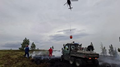
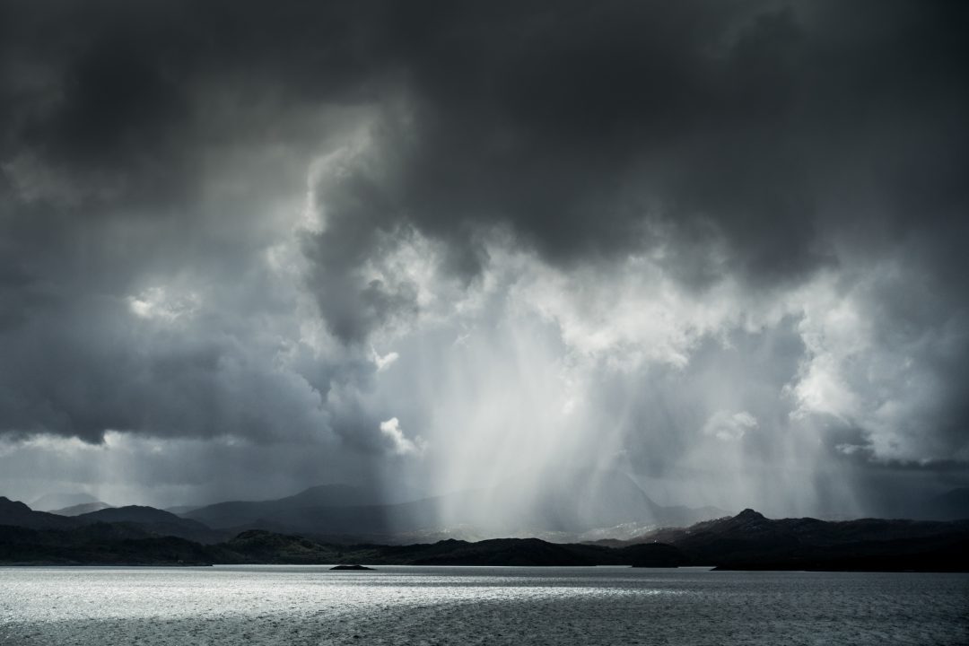
Granted, it hasn’t been a complete wash-out for everyone, but we have witnessed some torrential downpours and thunderstorms, causing flooding a few days ago in the north Highlands and around Glasgow.
In a single hour on Tuesday night, six days worth of rain descended on Pollokshields and Mount Florida, of course leading to the delay of the game at Hampden.
And this is only the beginning – in true Scottish style, it appears that we will likely pay for the delightful weather with a hearty dose of wind and rain.
The timing couldn’t be more ironic, as schools are about to break up for the summer holidays.
Over the past week, countless people have messaged me, stating that the drought is over and urging me not to mention how dry it has been.
Unfortunately, thundery downpours do little to replenish water levels, as they are confined to very localised areas. What we truly need is substantial rainfall.
Parts of Skye, Lewis, Orkney, East Renfrewshire and East Lothian have only had about 20% of the usual rainfall for June so far. In Glasgow, we’ve had just under half the usual, and in the north Highlands where we’ve had more rainfall, we’re sitting roughly where we should be for this point in June.
The extreme warmth in sea surface temperatures across the North Atlantic may be one of the major driving forces of our weather going through the summer.
Sea surface temperatures have reached 16C on the western side of South Uist and Barra, 17C on the west coast of Ireland and as high as 18C in southern Ireland.
This is around 3C to 4C higher than usual, which for sea temperatures is extremely significant, especially so early on in the summer.
Higher sea surface temperatures can lead to more moisture being injected into the atmosphere, which is like fuel for low pressure systems and helps intensify them.
This means when we see more unsettled and changeable spells, there’s a possibility we may see more summer gales than usual, along with heavy rain.
This weekend will have some lovely warm weather on Saturday, but thunderstorms will develop in many areas by Sunday. Early next week a deep low will affect the north of the country bringing a bout of gales to the Western Isles and far north of the mainland, which could impact ferry timetables.
Now I’m not writing off summer at all. I wrote an article the other day about the high sea temperatures potentially increasing our chances of more extreme heat this summer, but it is ironic that after weeks of scorching sunshine and drought like conditions, we now find ourselves bracing for weeks of wetter and occasionally windier weather, just as summer unfolds.
Follow STV News on WhatsApp
Scan the QR code on your mobile device for all the latest news from around the country