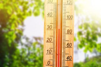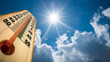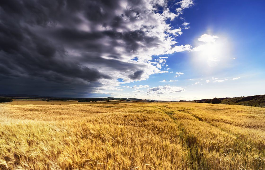
Temperatures officially reached 22°C on Wednesday in parts of the Highlands, Perthshire, Renfrewshire and Aberdeenshire.
But several personal weather stations showed peaks of 24°C across Glasgow and North Lanarkshire – making it one of the warmest days of the year so far. However, Thursday or Friday could well be the warmest day of the year so far.
After a disappointing start to June, this sudden burst of warmth is thanks to a plume of warm air drifting north from Africa into Italy, Spain, and France, where temperatures have soared into the mid-30s – and may climb into the upper 30s in central France in the coming days.
Here in Scotland, the mid-20s are likely on Thursday and Friday, and if any location manages to exceed 25.5°C – a distinct possibility – it would mark the warmest day of 2025 so far. That current title belongs to May 13, when 25.5°C was recorded at both Tyndrum (Stirlingshire) and Auchincruive (Ayrshire).
But this isn’t a straight road into summer. The heat is being accompanied by rising humidity and a growing risk of thundery downpours in the days ahead.
OUTLOOK
Thursday: Mostly sunny for many through the day, but rain will move into southern Scotland later in the afternoon and into the evening.
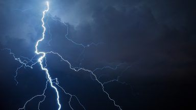
Some of this rain could turn thundery across Glasgow, Lanarkshire, Edinburgh, the Lothians, Borders, and Dumfries & Galloway. The worst of the stormy weather is expected further south across England, but some leftover energy and moisture could bring lightning and hailstones north of the border.
Friday: A fine start for most, but as temperatures climb again in the afternoon, showers will bubble up, particularly across the western side of the country – from Ayrshire to the Highlands. Some of these could turn thundery.
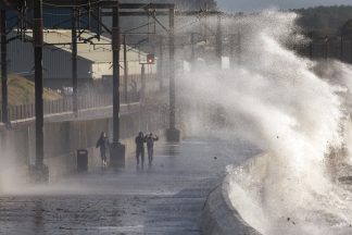
Saturday: Looking to be the most unsettled day, with widespread torrential downpours and thunderstorms, especially in central, southern, and eastern Scotland. Some areas could see as much as 30mm of rain in just a few hours – the equivalent of two weeks’ worth of rainfall for parts of eastern Scotland.
This could result in very localised flooding, so SEPA and the Met Office will be monitoring the situation closely. Weather warnings may be issued if necessary.
FURTHER AHEAD
The warmest air will retreat by the end of the weekend, but another surge of heat may arrive late next weekend or early in the week of 23 June.
Some models are hinting at a more intense bubble of heat, possibly pushing temperatures close to 30°C in some locations.
This is just speculative at this stage – but I’ll keep an eye on it for you.
Follow STV News on WhatsApp
Scan the QR code on your mobile device for all the latest news from around the country