Thunderstorms are expected to strike parts of Scotland in the first half of the week.
The Met Office has issued a yellow ‘be aware’ warning from 12pm until Wednesday.
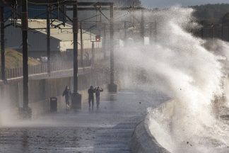
Flooding and disruption on the roads is likely, while the Met Office said homes and buildings could be damaged.
It also warned of fast-flowing water and said spray and water build-up may result in road closures.
STV meteorologist Sean Batty said clusters of thunderstorms “could bring large hail and torrential downpours”.
However, he said the Met Office warning does not mean everyone will see the storms but rather the risk is widespread.
He added: “Thunderstorms tend to be just several miles wide, so forecasting where these will break out and track is extremely complex, hence the wide warning areas issued.
“Nonetheless, if you are unlucky enough to be under one of these storms this week, you’ll know all about it. At this time of year thunderstorms can release large quantities of rain in a very short space of time meaning drains can’t cope which leads to flooding.
“The worst of the storms on Monday night will be across north Wales and northern England, where very large hail, flooding and gusty winds are possible. The remnants of these storms will move north into Scotland overnight and could still lead to flood issues, with some very heavy downpours possible in central and southern areas, such as Dumfries and Galloway, Ayrshire, Lanarkshire, and later Fife, Clackmannashire, Falkirk and West Lothian.
“This band of thundery rain will continue north on Tuesday and pass through the Highlands, Western Isles, Moray and Aberdeenshire during the morning and into Orkney and Shetland later in the day.
“A few more thunderstorms will come into southern Scotland on Tuesday night. On Wednesday some more thunderstorms could develop with the main risk during the first half of the day. At this stage it looks like we may see a concentration of thundery downpours across the Northern Isles, but these should ease later.”
Authorities in Dumfries and Galloway and the Scottish Borders are on flood alert as the Scottish Environment Protection Agency (SEPA) warned of difficult driving conditions.
While the warning from Monday lunchtime covers southern, central and northern parts of the Scotland, it does not extend further than Inverness or to the east coast.
However, Met Office warnings for Tuesday and Wednesday extend to the whole country.
Follow STV News on WhatsApp
Scan the QR code on your mobile device for all the latest news from around the country