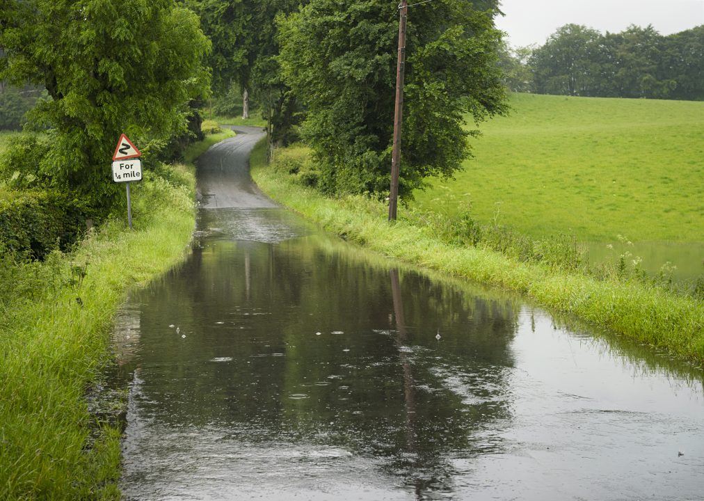
After a fairly prolonged settled period for much of the country things are about to change in the next 24 hours with a low pressure system rolling out of Germany and moving into Scotland on Wednesday afternoon.
Windier conditions will develop during Wednesday with the strongest winds along the north and east coast and gales over the hills.
The main issue will be heavy thundery rain which will move west throughout Wednesday and into Thursday with significant totals and flooding possible.
The east of the country will see the highest totals with 30-40mm falling quite widely and up to 80mm in some spots. What can’t be ignored though is that some of our computer models have been indicating totals as high as 150mm – which can be taken as a worst case scenario.
With average rainfall totals for May around 50-70mm for the east of Scotland it’s very likely that many will see a month’s worth of rain, and in some spots possibly a lot more than that in 24 hours.
This is likely to lead to some flooding issues on Wednesday night and into Thursday, especially after the recent drier conditions which will have hardened the ground a little in some areas, which leads to increased run-off.
For those thinking ahead to the holiday weekend, it does look like it should settle back down with a lot of dry weather on Saturday, although some showers will return on Sunday and Monday.
Follow STV News on WhatsApp
Scan the QR code on your mobile device for all the latest news from around the country


