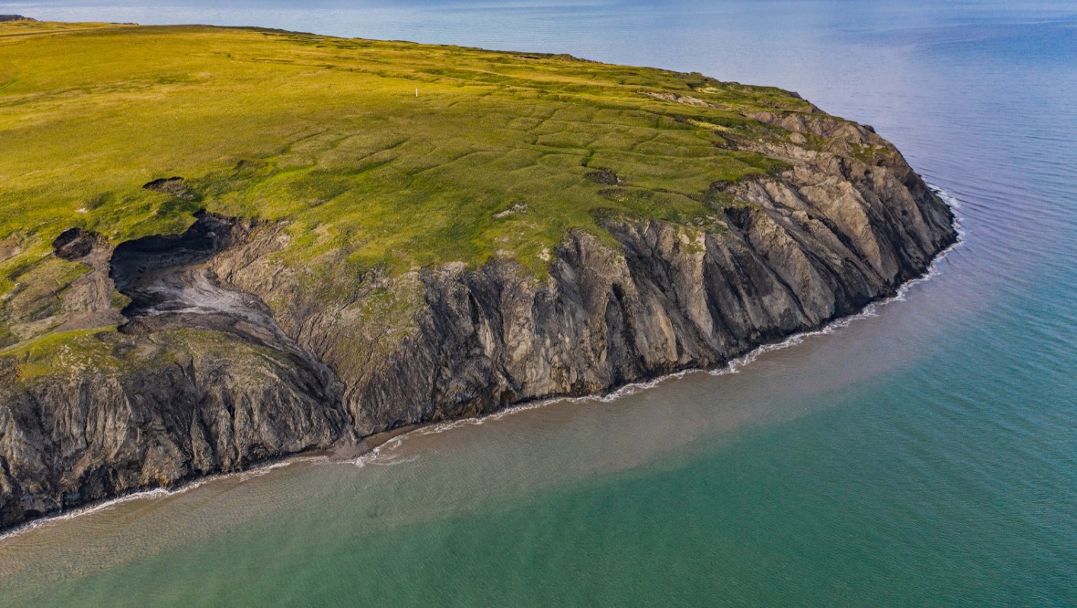
University of Edinburgh scientists working on a remote Arctic island have used cutting-edge drone technology to capture previously unseen changes to a tundra landscape.
Tundra landscapes – which cover vast regions of the Arctic – undergo intense and rapid seasonal changes, many of which are too detailed and fast-moving for satellites to spot.
Using drones to map tundra on Herschel Island (Qikiqtaruk) in Canada’s Yukon territory, the Edinburgh team’s work will help them to better understand how Arctic regions are changing as the climate warms.
The team’s findings are published in the journal Environmental Research Letters.