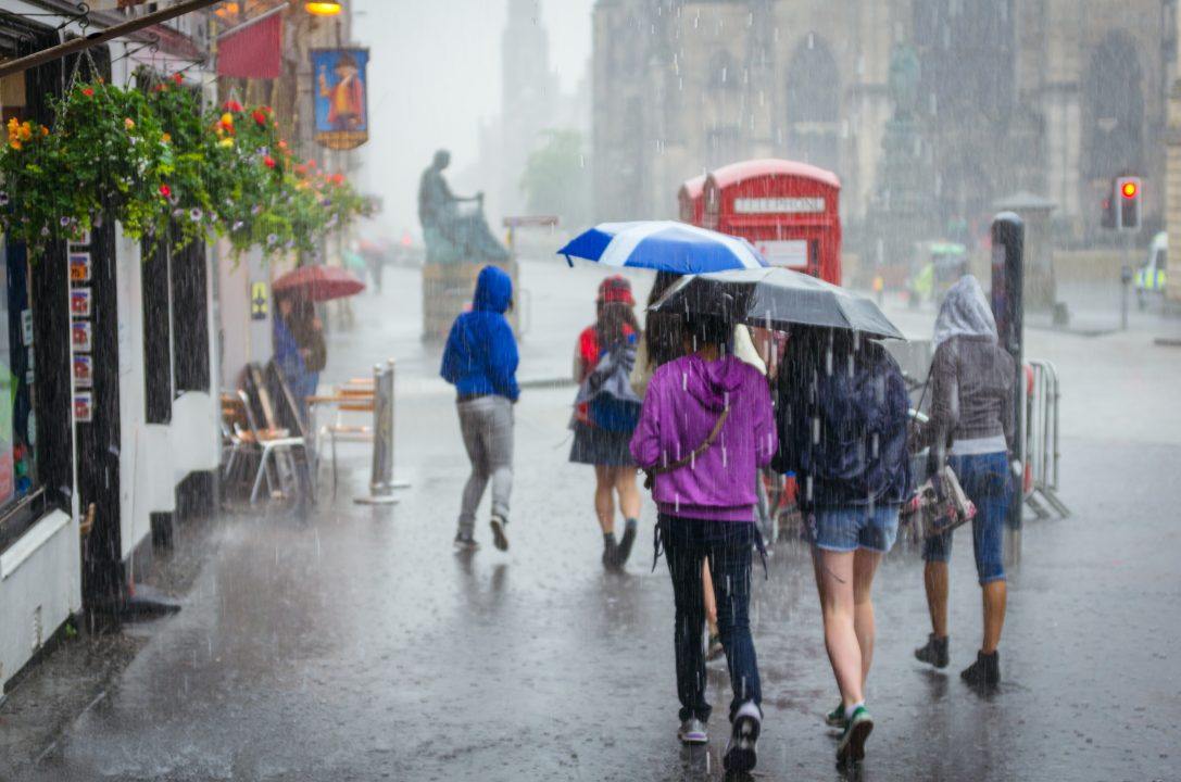
Scotland is set to be battered by downpours as a yellow weather warning has been brought forward and extended to cover most of the mainland.
The Met Office brought forward a yellow weather warning for rain which was scheduled to come into force at 4pm on Saturday, instead predicting downpours will occur from midday.
Up to 75mm of rain could fall within the space of just a few hours – equivalent to a month’s worth of rain.
The area set to be affected by rainfall covers the majority of the Scottish mainland and is expected to last until midday on Sunday.
The Met Office said heavy rain and isolated thunderstorms are expected to hit the country, with a small chance of power cuts and flooding affecting some areas.
Train and bus services may experience delays or cancellations due to the downpours. ScotRail has urged passengers to check their journey before travel, adding that ticket acceptance is in place between Aberdeen and Inverness on Stagecoach North services.
A second weather warning for thunderstorms has now been issued for Monday, due to come into force from 11am until 9pm.
Forecasters warn some areas could see rainfall of up to 50mm on Monday, with a risk of flash flooding, lightening strikes and hail.
Fast flowing or deep floodwater may bring a danger to life, the Met Office added.

Insight Philip Petrie STV weather presenter
It’s a fairly unsettled and changeable weekend for many of us – a stark contrast to last weekend when we were experiencing heatwave conditions!
Low pressure is dominating our weather today and tomorrow driving heavy pulses of rain and the odd isolated thunderstorm across Scotland – add to this some muggy nights and it’s a pretty bleak weekend for much of the country.
The rain warning issued by the Met Office on Friday has been brought forward in time to start at midday Saturday and run a whole 24 hours. Within this warning area we will widely see 20-30mm of rain and in some spots 50-75mm of rain in the space of just a few hours. Tonight the outbreaks of rain will continue to move north and westwards, we’ll see the return of hill and coastal fog and a lot of low cloud in general, with parts of Argyll and Bute remaining the driest overnight.
Sunday we will see further pulses of heavy rain and isolated thunderstorms pushing in from the east of Scotland, spreading into central and western parts by afternoon.
On Monday we have more heavy and slow moving showers covering a good portion of the country with the potential of 30-50mm of further rain falling in a few hours. The Met Office have issued a further warning this time covering most of Scotland apart from the Northern and Western Isles, and the north east of the mainland – this time the warning is for thunderstorms as the showers will be heavy and disruptive to start the week.
Follow STV News on WhatsApp
Scan the QR code on your mobile device for all the latest news from around the country


 Adobe Stock


