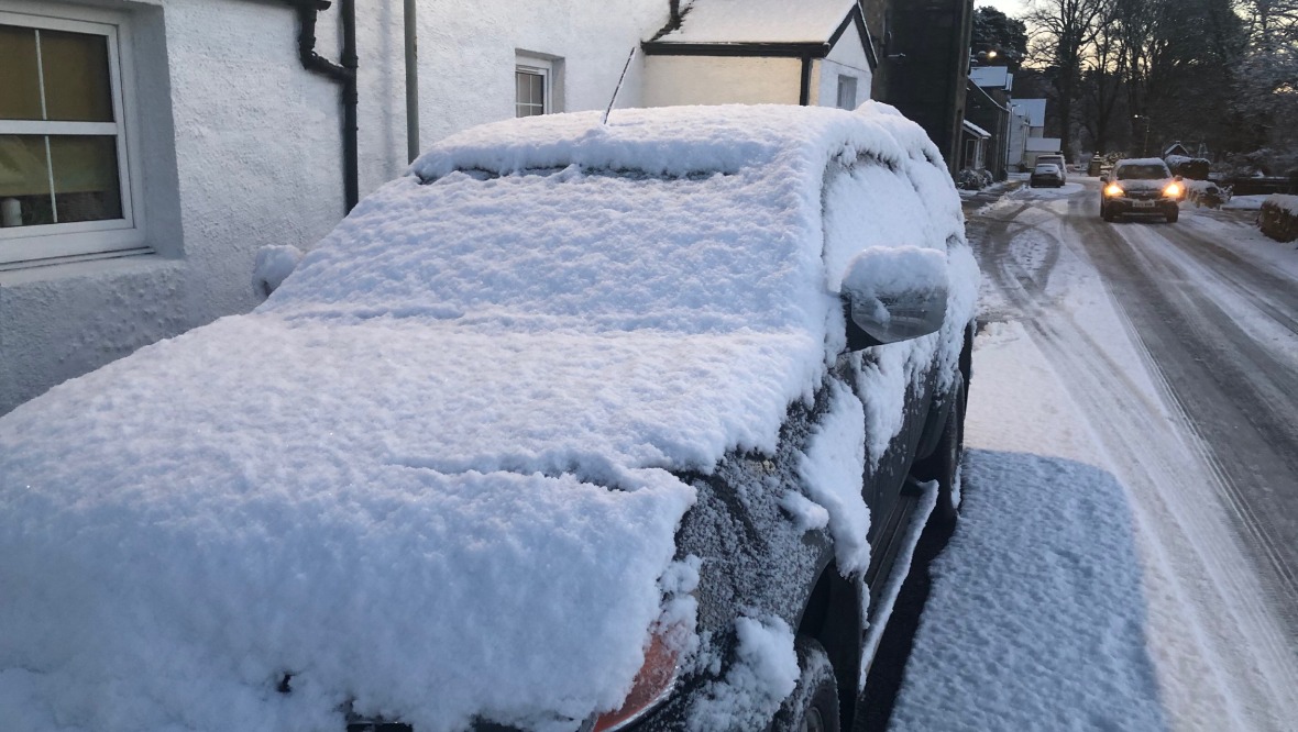
Parts of Scotland are expected to be hit with up to 70cm of snow after forecasters issued a five-day weather warning.
Several yellow warnings for snow and ice have been put in place for areas in central, southern and northern parts of the country between Monday night and Saturday morning.
The Grampians, Inverclyde, and Arran are among areas set to see the worst of the conditions with a high risk of blizzards in some places.
Several centimetres of snow can still be expected in low levels although the main risk is for areas with a little height.
STV meteorologist Sean Batty predicts areas in the southern uplands could expect up to 70cm of snow.
Here is a summary of the weather warnings currently in place for rain, snow and ice during the next few days.
— Met Office (@metoffice) February 2, 2021
Latest info 👉https://t.co/QwDLMfRBfs
Stay #WeatherAware ⚠️ pic.twitter.com/Xu1x3bLAxJ
He said: “A frontal system today has been slowly drifting north bringing snow to higher parts of central and southern Scotland, but as this runs into the colder air in the north and stalls we could see some serious snow building up in the coming days.
“The south and the east of the Grampians are likely to see the worst of the snowfall this week with snow pretty much continuing from Tuesday until Sunday. The higher ground of Easter Ross looks to also be a focal point for some of the worst snow too.
 STV News
“Mountains in these areas could get up to 100cm of fresh snow, which is on top of what is already on the ground, taking total depths well over a metre in some spots by the weekend.
“There will also be significant and possibly very disruptive snow at lower levels in the higher parts of west Aberdeenshire, northern Angus and northern Perthshire.
“I expect upper Deeside could be one of the worst hit areas with around 40cm of snow possible for the likes of Ballater, Crathie and Balmoral. Similar amounts of snow is possible for Cock Bridge, Kildrummy, Clova and Glenshee.
“The snow will be accompanied by strong winds which means there could be blizzards and drifting of this snow which will make it potentially even more severe.
“While these are the worst affected spots, snow will also continue to fall in higher areas further south, especially across the Borders, with up to 50-70cm of snow possible on the eastern end of the Southern Uplands.”
Sean predicts the snowfall may result in some local roads becoming blocked and some smaller communities being cut off. Power cuts are also possible.
Low level parts of central and southern Scotland is expected to see a mix of rain, sleet and some snow in the coming days.
‘We’ve got so much going on in the coming days, and for some, severe winter conditions to prepare for.’
STV Meteorologist Sean Batty
There is a higher chance of snow lower down as the air turns colder again through the weekend.
Sean warned Scots to prepare for “severe winter conditions” over the next few days.
He said: “I’m also keeping a very close eye on developments across Russia and Scandinavia, with some hints that an area of high pressure may extend from there at the weekend and into next week, which would bring more severe cold if it did develop.
“The lowest temperature of the winter so far is -13C recorded in the Borders in early January and then again last weekend in Braemar.
“If the easterly air flow develops next week, then after the snow this week, we could be looking at some exceptionally low temperatures, below -15C in the Highlands. This would be the coldest conditions in Scotland since the severe cold of December 2010.
“There is a lot of uncertainty beyond the end of this week, so the possibly even colder conditions next week may not come to fruition. Even so, we’ve got so much going on in the coming days, and for some, severe winter conditions to prepare for.”
Follow STV News on WhatsApp
Scan the QR code on your mobile device for all the latest news from around the country