 STV News
A yellow weather warning for heavy rain has been issued across much of mainland Scotland.
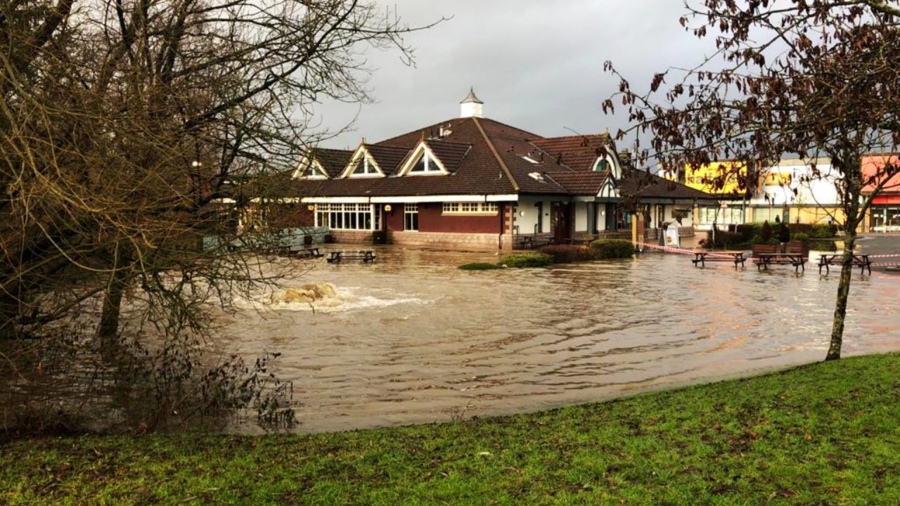
Flooding and travel disruption is forecast with the alert coming into force from 2pm on Tuesday until 6am on Wednesday.
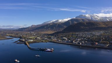
The warning covers the inland areas of the Highlands as well as Fort William, Angus, Aberdeenshire, Argyll and Bute, Perth and Kinross, Stirling and West Dunbartonshire.
In the south, the alert has been issued over East Renfrewshire, South Lanarkshire, North, East and South Ayrshire, Dumfries and Galloway and the Borders.
Wintry weather is continuing to cause difficult driving conditions in many parts of the country.
Traffic Scotland warned drivers to be cautious as sleet showers affect trunk roads ahead of the weather warning on Tuesday afternoon.
Heavy rain, and a thaw of snow lying on the hills, is expected to lead to flooding and transport disruption.
The Scottish Environment Protection Agency has issued 13 flood alerts around Scotland.
Marc Becker, flood duty manager, said: “Prolonged rainfall on Tuesday and Wednesday, combined with melting snow, is likely to see minor river and surface water flooding, across the country, with the potential for impact on transport routes.”
Rail passengers have been warned to expect disruption as RMT union members with Network Rail carry out further strike action from Tuesday.
While the strike does not involve ScotRail staff, the industrial action on January 3, 4, 6 and 7 involves Network Rail workers in critical safety roles across Scotland’s train lines.
Police have advised drivers to check guidance for driving in adverse weather conditions.
The Met Office said: “Outbreaks of occasionally heavy rain, falling on to already saturated ground, during Tuesday and overnight into Wednesday are expected to bring some localised flooding across parts of western and central Scotland.
“Accumulations widely of 15-25mm are likely, with a few locations, mainly western hills, seeing as much as 50mm.
“In addition to the rainfall, rising temperatures will lead to a thaw of lying snow, especially over the hills and mountains to the north of the central belt of Scotland.”
It comes after heavy rain brought flooding and travel disruption in some areas on Friday.
The West Coast Main Line between Glasgow and Carlisle will remain shut for repairs until January 6 after flooding caused “significant damage” to an embankment.

Insight Sean Batty STV Meteorologist
After a quiet cold and settled spell of weather during December, we’re now moving into what will probably be the more unsettled part of the season.
A cooling of the equatorial Pacific, known as La Niña, is probably the main driver for conditions in the coming month and this tends to bring us windier, wetter and milder conditions through January and February.
Recent rainfall has already brought flooding issues and more rain will just exacerbate this.
Between now and the end of Sunday we could widely get around 40mm of rain in the west of the country, and over 100mm of rain in the hills. This is equivalent to about a third of a month’s worth of rain in some spots.
The weather will remain unsettled and changeable for the foreseeable with occasional strong winds.
Follow STV News on WhatsApp
Scan the QR code on your mobile device for all the latest news from around the country