 Donna Simpson
Heavy snowfall and wintry weather is forecast for the rest of the week following the coldest March night recorded in a decade.
The Met Office issued a yellow weather warning on Monday for the islands, warning of possible road travel delays, air travel disruption, power and phone coverage cuts, and that some rural communities could be cut off.
It said travel disruption is likely as rain, sleet, snow and ice will hit large parts of Scotland amid a drop in temperature.
Pupils at more than 60 schools and nurseries in the Highland Council area were given the day off early on Tuesday.
Flights were seen circling the airspace above Glasgow, potentially due to disruption caused by heavy snowfall.
It comes after the country last week saw the coldest March night recorded since 2010, with lows of -16C seen in the Highland village of Altnaharra.
Weather warnings are in place covering the majority of south, central and west Scotland, with roads and railways likely to be affected by snowfall until 4am on Friday.
The Met Office issued a warning for snow from 4pm on Wednesday to 4am on Thursday for north and north east Scotland, Lothian, Dumfries and Galloway and the Borders.
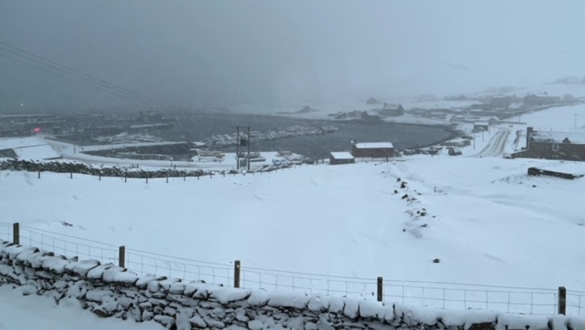
A yellow weather warning of sleet and snow showers for the Hebrides, the Highlands and Orkney is in place from 5pm on Tuesday to 10am on Wednesday.
STV meteorologist Sean Batty said on Monday: “A spell of more prolonged snowfall will come into the Western Isles and Shetland and Orkney overnight with further accumulations.
“This snow will move south into Tuesday morning, and it’s possible that places such as Dunbartonshire, Renfrewshire, Glasgow, Ayrshire and Lanarkshire could wake to a very wintry morning on Tuesday.
“Again this will most likely lead to tricky travelling conditions on the above mentioned roads.
“The cold air is here to stay for another few days, before another push of warmer air comes in at the end of the week.
“Temperatures will be back into double figures in the south by Friday and Shetland should see a recovery to around 6C, which should bring an end several days of on off snowfall and icy conditions.”
Greg Dewhurst of the Met Office said: “Please be aware that a Met Office National Severe Weather Warning has been issued by the Met Office.
“A yellow snow warning for SW Scotland/NW England until 4pm today for a few cms as showers pass through.”
Follow STV News on WhatsApp
Scan the QR code on your mobile device for all the latest news from around the country