 NASA Worldview
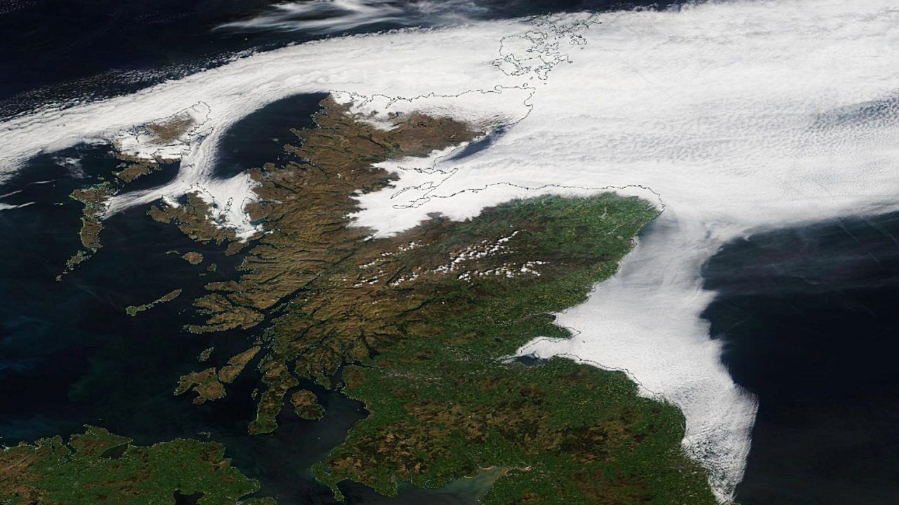
A satellite image shows the entire east coast of Scotland covered in the Haar.
Taken on May 13 by Nasa’s Worldview service, it shows the coastal or sea fog extending from Eyemouth in the Borders to Kirkwall in Orkney.
The mist is thought to take its name from an Old Norse word meaning cold sea fog or the Middle Dutch haren, referring to a cold, sharp wind – in parts of England it’s also known as fret.
Caused by warm air from the land meeting colder ocean air, the phenomenon is most likely to occur between April and September.
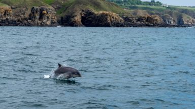
 Getty Images
The cold air just above the sea’s surface cools the warm air until it can no longer hold its moisture.
This makes the warm air condense, which forms the fog that we see.
Haars usually burn off as the day goes on, with the sun’s rays heating up the air again.
STV meteorologist Sean Batty said the Haar is common at this time of year and coincides with the colder temperatures in the east of the country.
“A sea breeze from the north is making the east coast cooler,” he said.
“On Tuesday, it was 12/13C on the east coast while it was in the mid-20Cs in the west.”
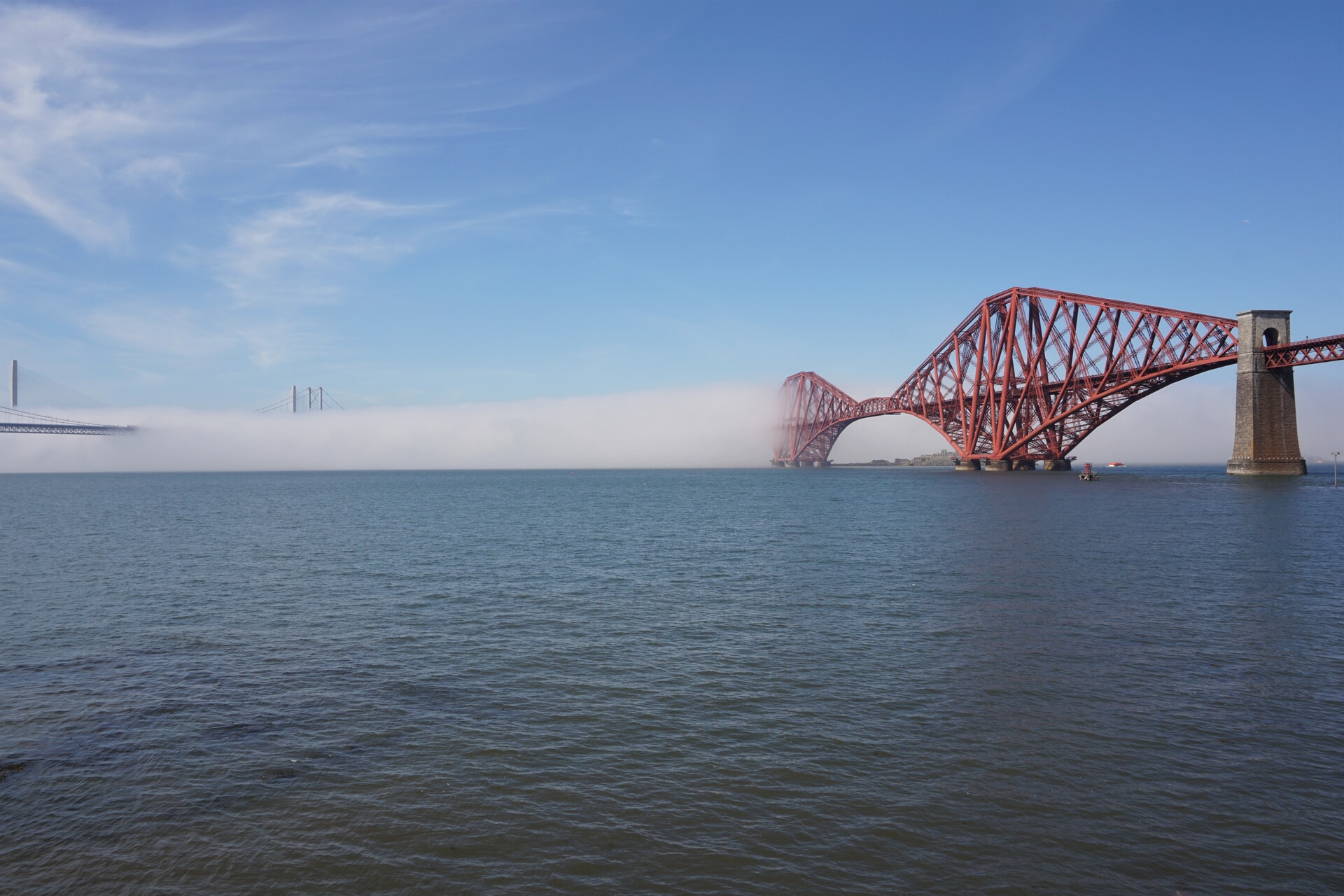
 Adobe Stock
The Met Office warns that the sudden onset of coastal fog can sometimes be dangerous, as it dramatically reduces visibility which could cause disorientation.
It can also affect industries such as shipping and oil platforms, and airports have had to ground flights.
Follow STV News on WhatsApp
Scan the QR code on your mobile device for all the latest news from around the country