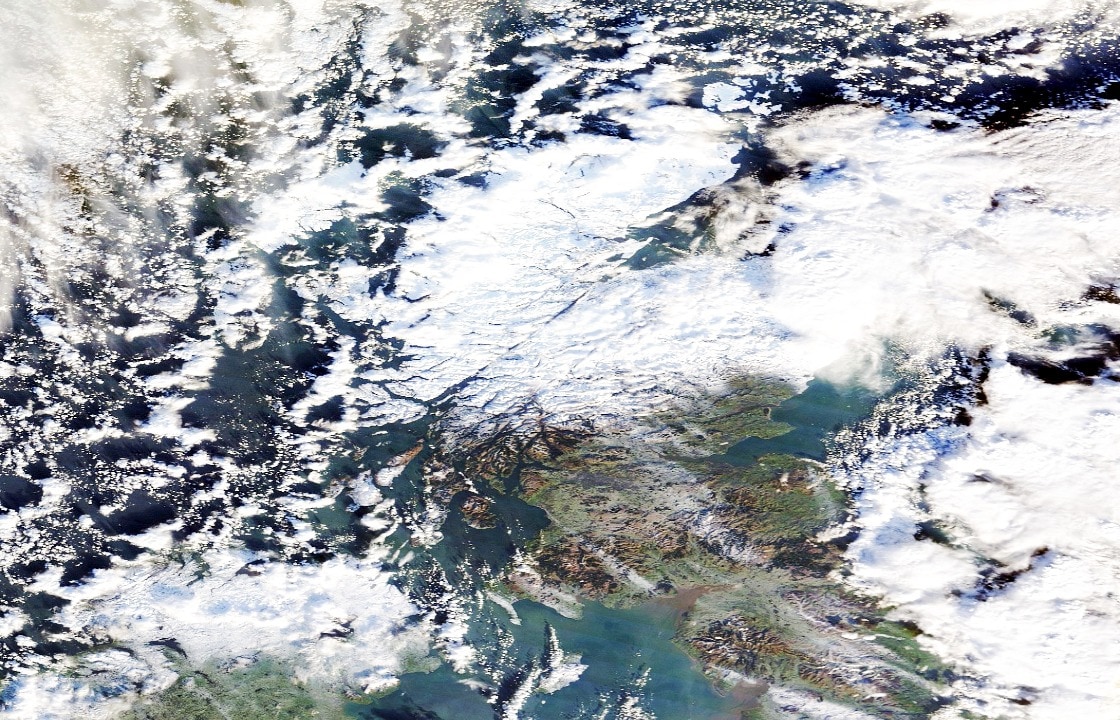
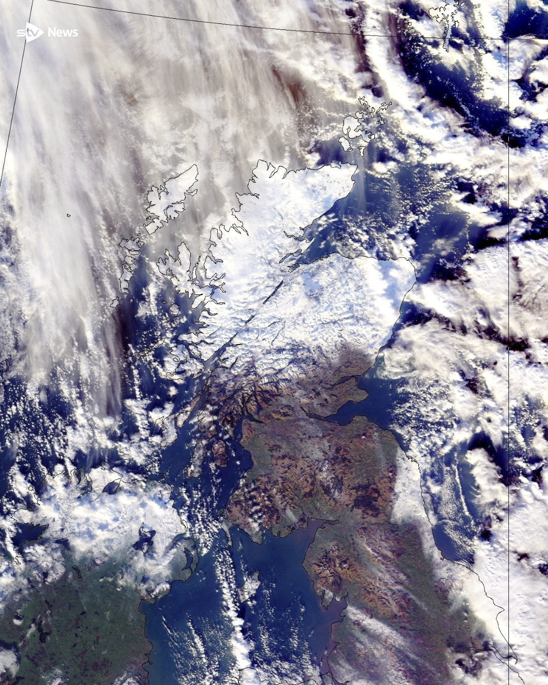
Stunning satellite images show the north of Scotland turned white by snow.
Some places around the country have seen as much as 50cm of snow with drifts of around a metre.
Loch Glascarnoch in the Highlands is the Met Office weather station that has recorded the highest snowfall, with 36cm as of 8am.
Dalwhinnie in Invernesshire recorded the lowest temperature with -11.2C overnight.
During winter, as the Arctic falls into 24-hour darkness, extreme cold builds over the Pole.
 NASA Worldview
This helps to create a fast-flowing ribbon of air high above the Arctic known as the polar vortex. It acts like a ring of ice, keeping the cold air locked over the Pole.
When the winds within the polar vortex weaken, that cold air can escape southwards into parts of Europe and the US.
But this winter, the polar vortex has never really got going properly. Instead of being a tightly spinning system, it has been wobbling – allowing repeated surges of Arctic air to spill south in recent weeks.
While the polar vortex will attempt to strengthen again in the coming days and pull some of the cold back north, it looks set to weaken once more next week.
That raises the risk of another cold outbreak later in January and into February.
Follow STV News on WhatsApp
Scan the QR code on your mobile device for all the latest news from around the country