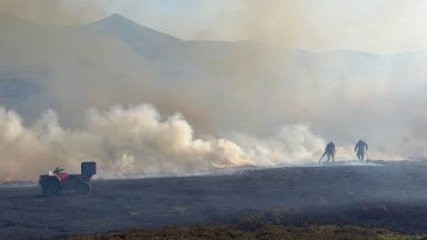
After a week of bitterly cold conditions, with heavy snow across the northern half of the country and blue skies and crisp winters days across the south, we now end the week with our second named storm of the year.
Starting as a low pressure system out to the east of North America, Storm Isha has made it’s way across the Atlantic and will arrive later today. There are tightly packed isobars around the center of the storm, which is what will give us damaging and disruptive winds, but we will also see some heavy rain arriving ahead of the storm. So with the rain and a lot of snow melt it means we could see some flooding along with the strong winds.
On Wednesday of last week the Met Office issued their first warning for today, a yellow wind warning covering the whole of Scotland. It’s quite rare for the Met Office to issue a warning so far in advance so it was a hint that something out of the ordinary was on the way. Since then though, an amber warning for strong winds and a yellow weather warning for heavy rain have been issued in relation to Storm Isha.
Cloud will start to thicken from the south west this morning, with rain moving in and things turning very wet for the central belt by the end of the morning. The heavy rain sweeps north eastwards covering much of the mainland, but the winds will be the main focus of the day. By afternoon we will be seeing gales around western parts and by evening severe gales. By 4pm today there is a risk of gales anywhere, with gusts widely reaching 50mph, but the strongest winds will not yet have arrived.
Overnight things will go downhill quickly as the amber wind warning comes into affect at 6pm, however even before this time it will be turning extremely windy across central and southern areas. Gusts will frequently reach 50-60mph inland, with coastal areas likely to see 80mph at times. We’ll likely see some power disruption overnight, with branches down, and some disruption on the roads. The winds come from a south westerly direction for much of the night then switch to a westerly. It’s as that change occurs that we will see the strongest winds, so around midnight give or take an hour or two, we will see severe gales around the west, then the north west, then the strongest winds around Orkney and Aberdeenshire by around 3am.
The strong winds spread across all parts later in the night and by 9pm the north and north-west could see gusts of between 75-85mph locally, and widely inland gusts of 50-60mph. The core of the strong winds will affect the Western Isles, but also could track across Moray and parts of Aberdeenshire.
We’ll likely see some impacts early Monday morning, with rush hour being affected by a lot of debris and early morning commuters coming across fallen branches and perhaps some flooding from the heavy rain and snow melt.
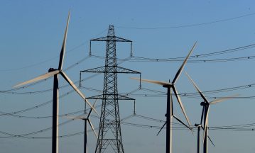
It’s important to remember that a storm is named to give it significance and to show that seriousness should be taken towards it, so we should be prepared for all eventualities during a named storm like Isha. This means checking your property for any loose items, or securing any garden furniture, any bins, trampolines, sheds and fences, and look out torches, spare batteries and essential items in case of power cuts. We will definitely see travel disruption, with limitations already in place on some rail links and ferry crossings, and there is a chance some schools could be closed Monday morning.
Follow STV News on WhatsApp
Scan the QR code on your mobile device for all the latest news from around the country