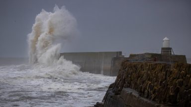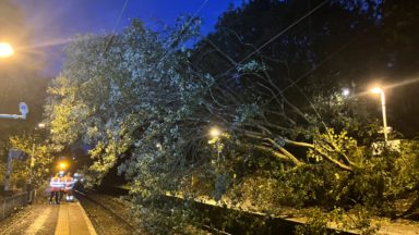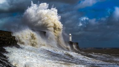
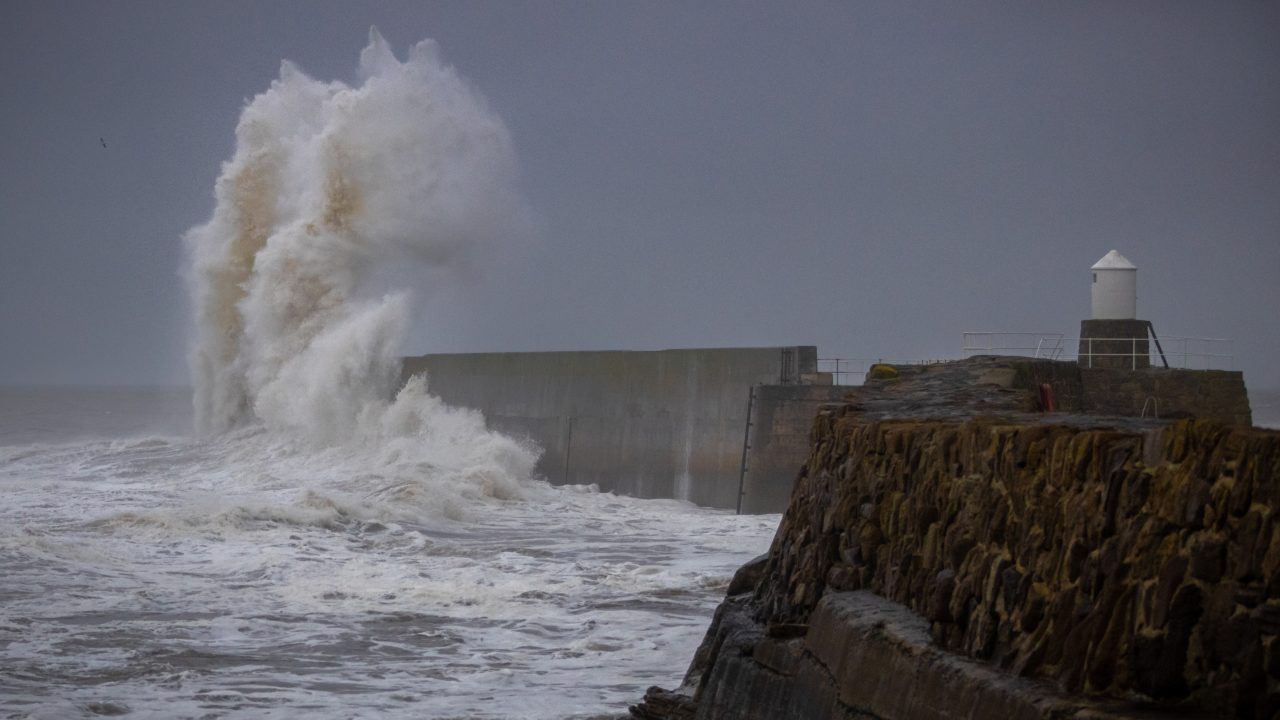
Storm Boelo is to bring rain and 80mph gusts as multiple weather warnings come into force.
Ministers have activated the Scottish Government’s Resilience Room (SGORR) to prepare for strong, windy conditions, which are predicted to impact the whole of mainland Scotland and the Western Isles this weekend.
The Met Office has issued an amber warning for wind covering mainland Scotland and the Western Isles from 9pm on Saturday until 9pm on Sunday, with disruption to travel, damage to property and injuries from flying debris possible.
A yellow warning remains in force elsewhere, while heavy rain alerts covering parts of the north and east of the country raise the risk of flooding and travel disruption.
A yellow rain warning will also be issued for 9pm on Saturday until 3pm on Sunday covering Moray Firth, Aberdeenshire, Perth & Kinross and eastern parts of the Highlands, with heavy downpours expected overnight and a risk of flooding and travel disruption.
Looking ahead, a yellow wind warning has been issued for most of Scotland from 3am until midnight on Tuesday. A further area of low pressure could be named Storm Chloe, bringing another spell of strong winds.
The Met Office warn some damage to buildings and trees, such as tiles blown from roofs and large branches or trees blown over, could occur from Saturday.
Disruption is expected on road, rail, air and ferry services, with fairly widespread gusts of 60 to 70 mph and gusts to 80 mph in exposed coastal areas.
The strongest winds will initially affect western Scotland and far north of Northern Ireland on Saturday evening and then spread eastwards overnight and through Sunday.
High winds will be accompanied by periods of heavy rain and frequent showers.
The winds will gradually ease from the west through Sunday.
The Transport Scotland Resilience Room and Multi Agency Response Team will be stood up for the duration of the warning to monitor conditions and coordinate responses across the transport network.
Traffic Scotland will provide updates via its website, social media channels and radio broadcasts from the National Control Centre in South Queensferry.
Cabinet secretary for Economy, Tourism and Transport Stephen Flynn said: “The Met Office has upgraded its warning for Storm Boelo with disruptive winds and heavy rain expected to impact most of Scotland this weekend.
“While the most severe conditions are expected within the amber warning area in the west of Scotland, a yellow warning remains in force across the whole country and travellers everywhere should be prepared for potential disruption.
“The strong winds may lead to restrictions on some bridges and exposed routes, as well as impacts across ferry, rail and air services. Anyone planning to travel should check conditions before setting out and allow extra time for their journey.
“Other modes of transport are also likely to be affected, so if you are planning to travel by train, ferry or air, please check with your operator to make sure your service is still running.”
Superintendent Andy Barclay, deputy head of Road Policing for Police Scotland, said: “The amber warning for wind means there is a high risk of disruption on the road network and travel conditions may be hazardous.
“Our advice is to plan ahead and consider if your journey is really necessary or if it can be delayed until conditions improve. Stopping distances can be at least double on wet roads compared to dry conditions, and spray can reduce driver visibility.
“HGV and bus drivers should drive with extreme caution and be aware you may be asked to park at a suitable position by the police.
“If you need to travel, please drive to the conditions and allow extra time for your journey.”
 iStock
The Scottish Environment Protection Agency has 11 flood alerts in place in the same areas where the Met Office’s yellow warning is in place.
Pascal Lardet, SEPA’s flood duty manager, said: “It’s going to be a particularly wet and windy period over Friday and the weekend across Scotland as two named storms, Storm Austen and Storm Boelo, sweep their way across the UK and bring disruption.
“Sustained heavy and prolonged rain throughout Friday will lead to high river levels and possible flooding impacts quite widely across southern, central and eastern areas. This could also cause surface water flooding on roads and around properties, difficult driving conditions and disruption to travel.
“The stormy weather will continue through Saturday as a band of heavy rain moves east and affect large parts of western and central Scotland with possible localised flooding, including the flooding of land, roads and individual properties. Coastal flooding impacts are also possible for western areas as large waves and rising tidal levels increase the likelihood of flooding to low-lying coastal roads and local travel disruption, in particular around the Firth of Clyde.
“The weather will then turn much windier through Saturday evening as Storm Boelo moves in and brings widespread high winds and severe gales in the north of Scotland. A Met office amber weather warning for wind is now in place running between 9pm on Saturday through until 9pm on Sunday night, resulting in high waves and a risk of coastal flooding. Surface water and river flooding will remain a possibility during this time as rain continues to fall.
“The flood risk will remain elevated across this weekend and into next week, so we are urging people to remain vigilant and stay up to date with the latest information by checking our flooding page https://beta.sepa.scot/flooding/ and staying up to date on SEPA’s website and Social Media channels.”
The first warning for heavy rain came into force for central, southern and north-east Scotland at 6am on Friday and ran until midnight.
Forecasters are warning of a small chance that homes and businesses could be flooded, causing damage to some buildings.
On Friday, Police Scotland confirmed the B9071 is closed between Garderhouse and the Reawick junction in Skeld, Shetland following a landslide. Drivers are urged to avoid the area.
Network Rail implemented speed restrictions on major routes to and from Aberdeen, between Glasgow Central and Carlisle and between Glasgow Central and Edinburgh Waverley.
Follow STV News on WhatsApp
Scan the QR code on your mobile device for all the latest news from around the country