 iStock
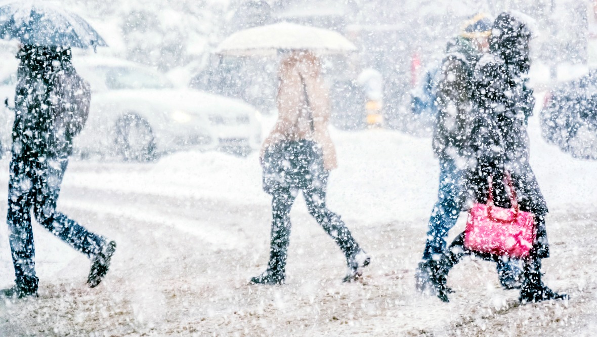
Snow showers and gale-force winds have been forecast for New Year’s Day as the Met Office extended a yellow weather alert to cover more of the country.
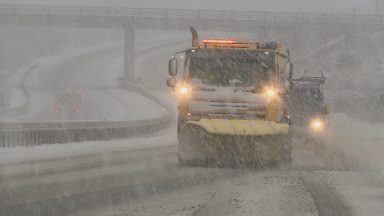
The Met Office said earlier this week that frequent and heavy snow showers will hit parts of the North East, Highlands, Orkney and Shetland, Argyll and Bute and Tayside on January 1.
Coming into effect from 6am on Thursday, the forecaster warned up to 40cm (16 inches) of snow could fall in some areas.
Strong winds could see snowdrifts occur and motorists are warned there may be disruption on roads, with public transport and flights likely to be affected.

The warning was due to end at midnight on January 2, but forecasters extended the alert on Wednesday to be in place until midnight on Sunday, January 4.
The new warning covers more parts of the country, with areas such as Dundee, Stirling, Inverclyde and West Dunbartonshire to be hit with showers.
A seperate yellow alert for wind was also issued for Aberdeenshire, the Highlands, Orkney and Shetland starting at 9pm on New Year’s Eve until 9am on New Year’s Day.

Insight Sean Batty STV News Meteorologist
Snow on Christmas Day in Scotland is pretty rare, but snowfall at New Year seems to happen far more often and 2026 looks set to follow that familiar pattern.
In the coming days, Scotland is heading firmly into the freezer, with a spell of bitterly cold weather on the way.
Some areas will see extreme overnight lows, severe wind chills and significant snowfall, so here’s a guide of what to expect, where it will happen, and when the worst conditions are likely.
How cold will it get?
After some chilly days around Christmas, the real cold arrives as the New Year begins. Colder air reaches the north of Scotland around midnight as 2026 is ushered in, bringing cold and wintry conditions.
Daytime temperatures in northern areas will sit just a few degrees above freezing for the next several days, but strong winds will make it feel much colder. By Friday and Saturday, wind chill values could dip to around -6°C in places such as Orkney, Thurso, Inverness, Elgin, Keith, Macduff and Fraserburgh.
At night, temperatures will become extreme where skies clear over snow cover with some glens dropping to lows of -15°C.
Further south, despite brighter and drier conditions, it will still be bitterly cold. Towns could see overnight lows near -4°C, with rural frost hollows in Ayrshire, Renfrewshire and South Lanarkshire dipping to -8°C, particularly on Friday, Saturday and Sunday nights.
Some areas will get huge snowfalls
The most severe wintry weather develops on New Year’s Day, especially across the Northern Isles, Western Isles, north Highlands, Moray and parts of Aberdeenshire. Frequent heavy snow combined with gale-force winds will bring blizzard conditions and significant drifting.
Snowfall is expected to continue through Thursday 1, Friday 2 and Saturday 3 January. Away from the immediate coasts of the north Highlands and Moray, 15–20cm of lying snow is likely by Saturday, with up to 40cm possible in parts of the Highlands where snow falls are more persistent. Large drifts are likely to develop in these areas.
Further south, the northerly wind brings mainly drier and sunnier weather. However, a few snow showers may make it south of the Highlands at times, though these should be few and far between.
Could we be hit by polar lows?
You might be wondering what a polar low actually is. These are small but powerful weather systems that develop at short notice, making them notoriously difficult to forecast well in advance.
When they form, polar lows can organise scattered snow showers into more intense, well-defined bands. This can lead to sudden bursts of heavy snow, stronger winds, and rapidly deteriorating conditions, sometimes bringing significant disruption over a short period of time.
If any polar lows do develop, weather warnings may be issued at short notice. The greatest risk looks to be towards the weekend, particularly across northern and north-eastern Scotland, where conditions will be watched very closely.
What kind of travel disruption could we see?
Conditions in the north look particularly challenging. Blizzard conditions, heavy snowfall and drifting snow are likely to block some smaller roads, especially in Highland areas with snow gate closures. Ice and reduced visibility will be additional hazards for drivers.
The strong winds will also affect ferry travel with ferries to and from the Northern Isles and the Western Isles most likely to be disrupted.
Strong winds and snow can also put quite a bit of strain on power lines with a possibility of power cuts in the coming days.
How long will it last?
While temperatures are expected to make some recovery in the second week of January, there are a few models which show another blast of wintry weather mid-month.
So while the trend looks to be towards less cold weather in the next few weeks, there’s still a chance we could see further spells of cold, snow and disruptive weather as we head back to work and school.
For now, the immediate concern is the severe cold, snow and wind impacting northern parts of the country as the New Year begins.
Follow STV News on WhatsApp
Scan the QR code on your mobile device for all the latest news from around the country