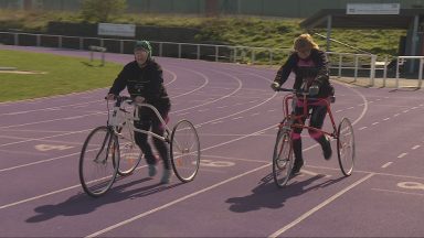
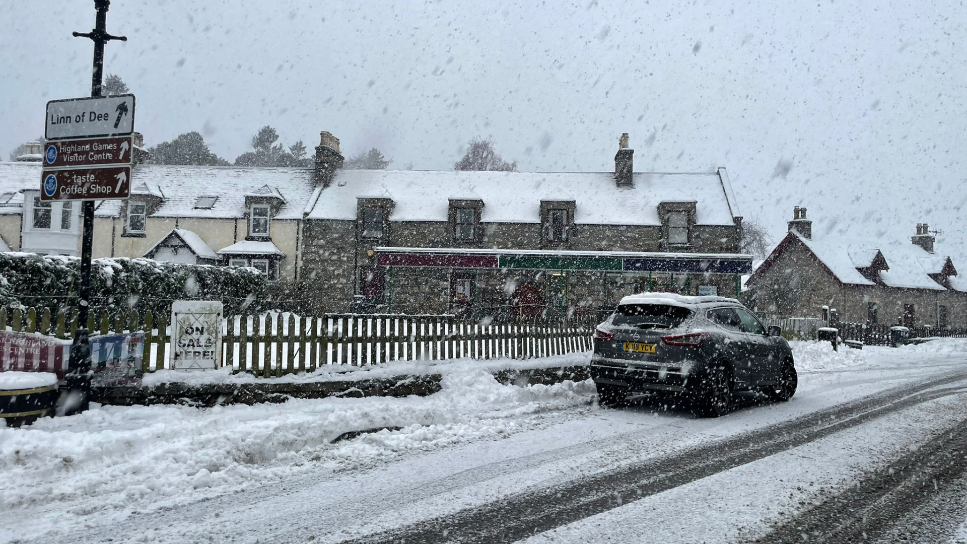
Snow and ice have swept across Scotland causing travel disruption.
The longest yellow weather warning ever issued by the Met Office is in place and has been extended even further until Thursday.
Forecasters say some areas could see more snow on Sunday, with a small chance that rural communities could be cut off.
The cold snap is due to stay through next week, with overnight frosts and daytime temperatures dipping below freezing.
 Fubar News
Across central and southern parts, a yellow snow and ice alert is in place from 7.41am until 12pm.
The north of the country, from the Western Isles to Stonehaven in the east and Shetland, has been under a weather warning since Wednesday.
A further warning covering the islands and the west and northeast coast came into effect at midday on Sunday and is due to last until 12pm on Monday.
On Monday, the Shetland Islands are covered by two yellow weather warnings with travel expected to be disrupted.
On Tuesday, an extended yellow warning means northern parts of Scotland and parts of the southeast will again see severe snow and ice. This alert is in force until midday on Thursday, December 15.
 Braemar, Ballater and Deeside Weather Page
Friday night was the coldest night of the year so far. Temperatures plummeted to a low of -9.2C, recorded at Eskdalemuir in Dumfries and Galloway, on Friday night.
But forecasters believe this record was beaten on Saturday night and will likely be superseded again when temperatures drop even further on Sunday night.
The snow and ice alert that has covered the north of the country since Wednesday was extended early on Saturday morning across much of the central belt and east coast, including east of Glasgow and the entirety of Edinburgh.
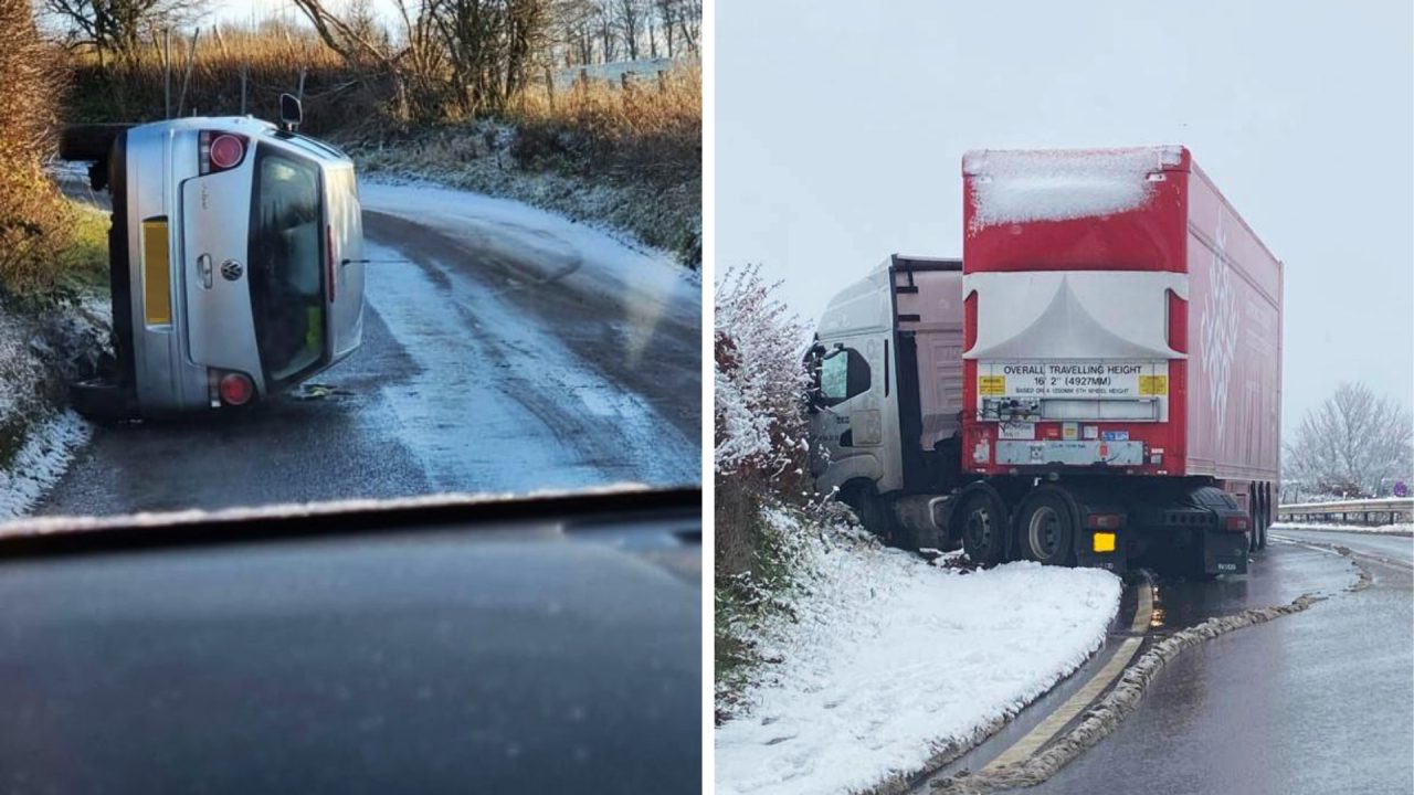
Multiple accidents have been reported on Scotland’s roads including on the M8, M90, M74, A90, A19 and A1.
A lorry left part of the A702 blocked after it crashed and jackknifed in the snow in Dalkeith.
The snow gates on the A93 at Glenshee were closed shortly after 3pm on Saturday with drivers advised to seek an alternative route.
 Fubar News
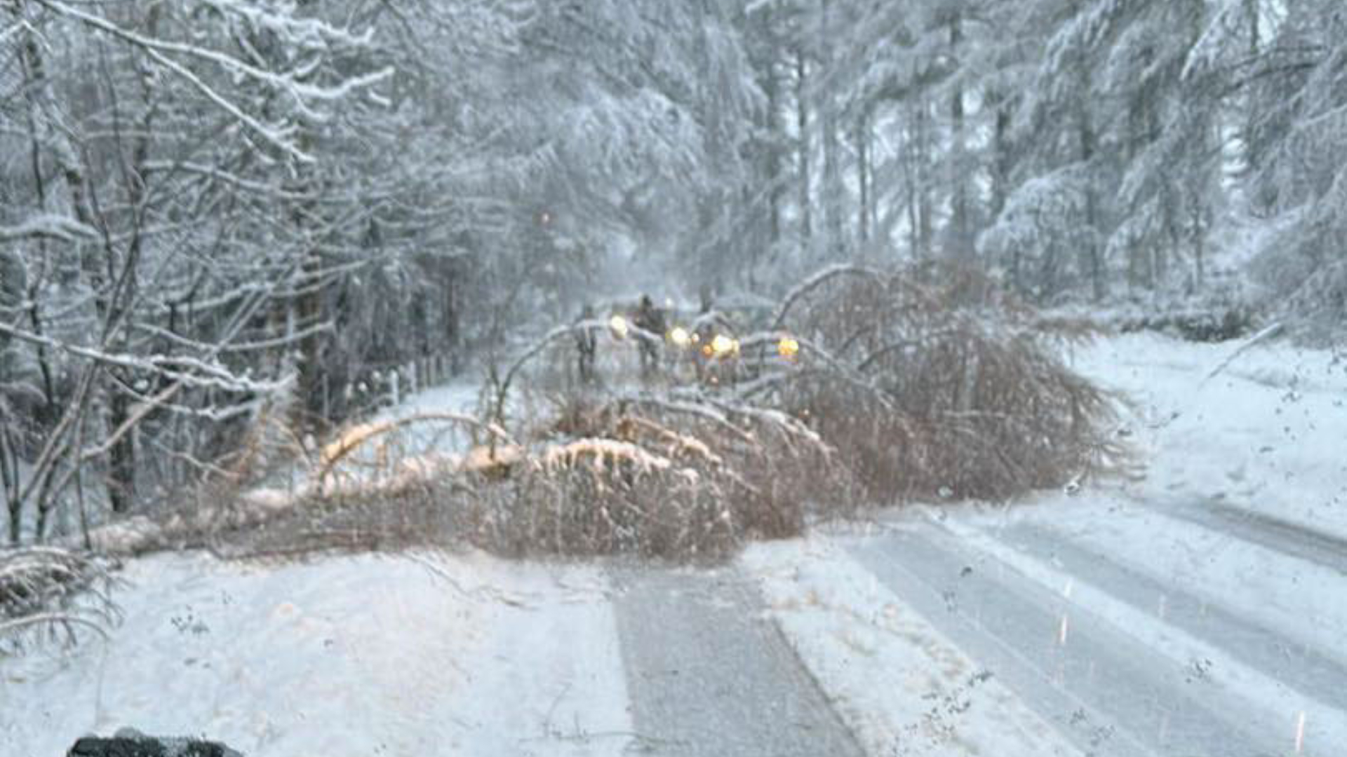
The road between Tillyfourie and Millbank was blocked by a fallen tree, reported Fubar News, after Arctic temperatures left a covering of snow across Aberdeenshire.
Heavy snowfall on Saturday afternoon made driving conditions on the A96 very difficult.
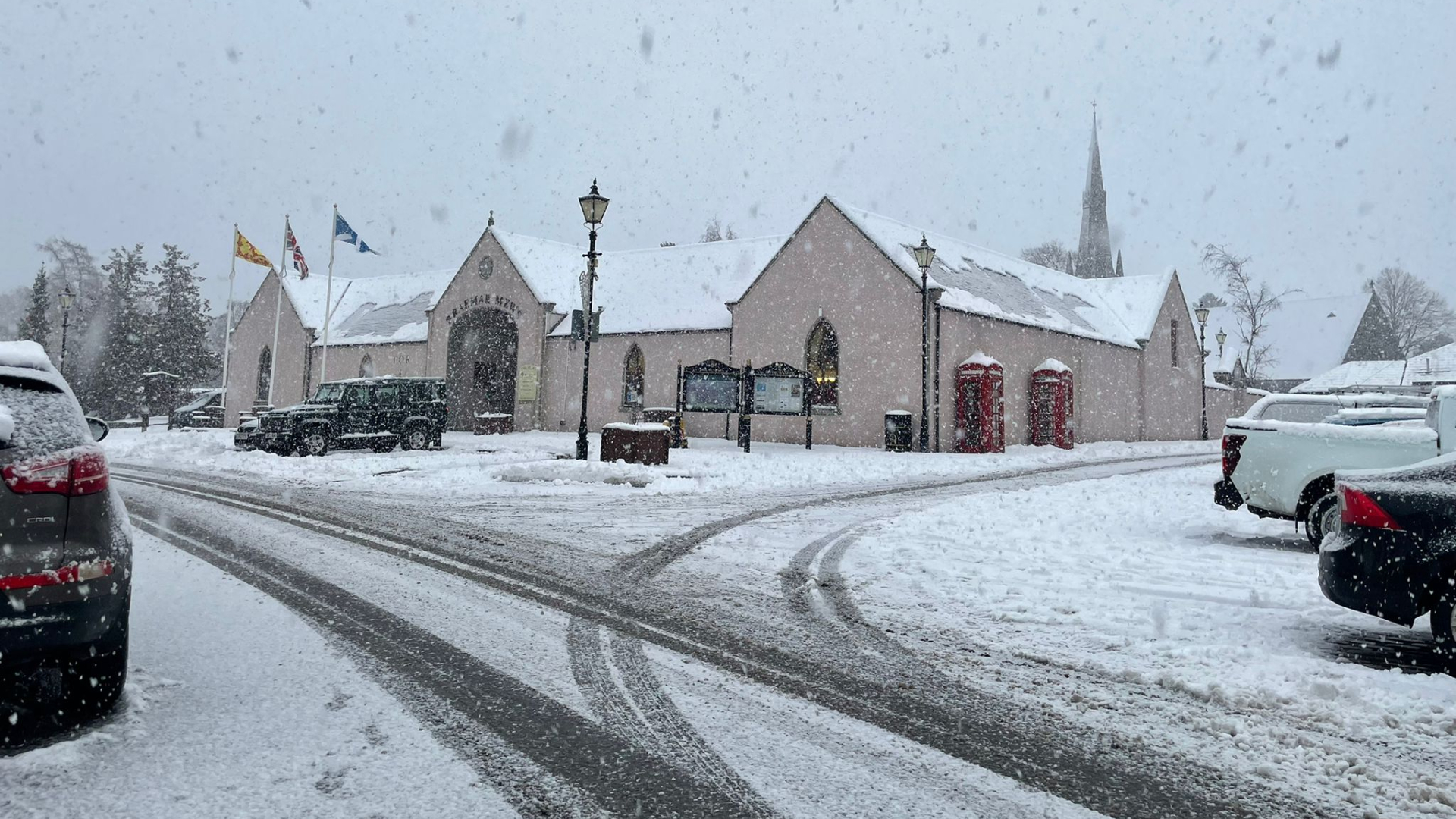
Temperatures could drop as low as -10C overnight, while accumulations of 2-5cm of snow are possible at lower levels and 10-15cm above 200 metres – especially across Moray, Aberdeenshire and northern parts of the Highlands.
The warning is set to end at around 12pm on Sunday.
 Braemar, Ballater and Deeside Weather Page
Insight Philip Petrie STV Weather Presenter
As we’ve been reporting for most of the week, we are in the middle of a long cold spell, because we are stuck in a northerly airflow, dragging in Arctic air from the north. Of course, it is winter, it is December so this is not surprising, but it is coming as quite a shock after what has been a year of above average temperatures.
Over the past week we have seen below-average temperatures for the time of year – normally we would be averaging around 7C for early December, but over the last couple of days some spots have been struggling to get above freezing by day.
By night, the temperatures are dropping significantly – this is because of a combination of the long winter nights, light winds, and clear skies. We can expect some severe overnight frosts in the coming nights, with temperatures dropping below zero.
Friday night was our coldest of 2022 after a low of -9.2C was recorded at Eskdalemuir in Dumfries and Galloway. This beats our previous coldest night which was back on March 2 when Aboyne dropped to -9.1C.
Of course, with things the way they are it could be the case that Saturday becomes the coldest night of the year, Sunday night becomes the coldest night of the year, and so on for the next few nights.
Follow STV News on WhatsApp
Scan the QR code on your mobile device for all the latest news from around the country


 FifeJammerLocationsPolice Scotland


