
 iStock
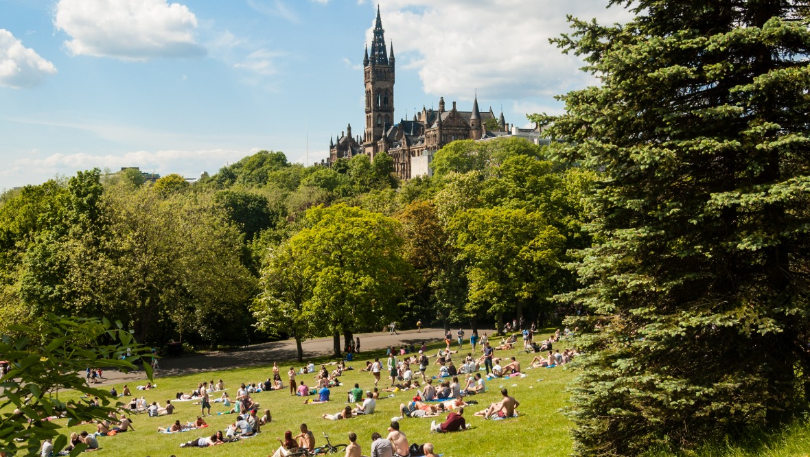
For months we’ve watched England and Wales bask in summer sunshine while we remained stuck in what felt like an endless spring. Thankfully, the last few weeks have finally given us a proper taste of summer too.
Of course, we all knew it couldn’t last forever.
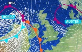
Over the next few days, the high pressure that’s brought our settled spell will gradually give way to lower pressure, allowing Atlantic weather systems to return with spells of rain. While that may be disappointing for many, the rain will undoubtedly be welcome in areas that have recently experienced wildfires.
With the school holidays now in full swing, I thought it would be a good time to look ahead at what the weather is likely to bring for the rest of the summer break.
This weekend
 iStock
Every part of the country is likely to see some rain at some stage this weekend. The good news is that the heaviest rain should mostly fall overnight, leaving Saturday afternoon and the latter part of Sunday looking fairly pleasant with some dry and brighter spells.
Last week of July
Next week will feel much more changeable than we’ve become accustomed to. There will be spells of rain, heavy at times, particularly across western areas. It will also become breezier, especially across the north and north-west, although nothing enough to cause disruption to ferry services.
There are some signs that high pressure could briefly build back in towards the end of the week, bringing another spell of warmer, sunnier and more settled weather.
First week of August
 iStock
Confidence is lower by this stage, with several possible scenarios still on the table. However, the most likely outcome at the moment is for a much more unsettled pattern to develop, with the possibility of a fairly deep area of low pressure crossing the country.
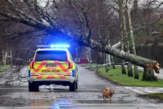
If that scenario verifies, it could bring a week of heavy rain and strong winds, with the potential for disruption to ferry services and outdoor activities such as camping. I’m certainly not suggesting anyone should change their holiday plans at this stage – it’s still a long way off in meteorological terms and plenty can change – but it’s something worth keeping an eye on.
Second week of August
 iStock
Forecast confidence becomes much lower this far ahead. Current signals suggest conditions will probably remain changeable, although there is a slightly better chance that more settled weather could begin to return as schools head back after the summer holidays.
The best spell of the summer
Overall, it does look as though we’ve probably already experienced the best spell of summer weather during the school holiday period. The pattern is set to become much more changeable over the next couple of weeks, with more frequent rain and occasional windy spells.
Looking further ahead, the next realistic opportunity for a longer-term return to warmer, drier conditions appears to be around the middle of August – just as many pupils are heading back to school.
Follow STV News on WhatsApp
Scan the QR code on your mobile device for all the latest news from around the country