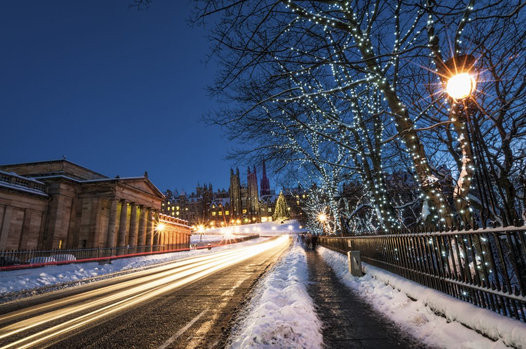
Scotland is set to experience a rollercoaster of weather in the final days of 2024, with strong winds, heavy rain, and snow dominating the forecast.
As we approach 2025, it’s increasingly likely that the new year will kick off with a blast of cold, snowy weather.
Monday, December 30: A Stormy Start
More unsettled conditions will develop later in the day with further heavy rain on the way, along with snow in the north Highlands. Significant snowfall is expected this evening, with accumulations of up to 20cm in higher areas before milder air moves in later tonight.
Flooding has already impacted parts of the Highland rail network, and conditions are set to worsen as more heavy rain come in tonight and into Hogmanay. With substantial rainfall expected, particularly across the Highlands, further flooding is highly likely, prompting the issuance of an amber warning. Some roads such as the A82 through the Great Glen could become quite flooded in parts.
The milder air that pushes into the north Highlands overnight will lead to a rapid thaw of lying snow, which will only exacerbate flooding issues in the region.
Hogmanay: Challenging Conditions for the North
Hogmanay looks particularly challenging for the Northern Isles, although the forecast is very complex. Heavy rain here will turn back to snow as colder air begins digging back south and could lead to blizzard conditions given the strong winds. This means driving in parts of Shetland and Orkney could become difficult as the wintry conditions develop.
All parts of the country will experience strong winds, with gales in the north and west and further spells of heavy rain – particularly across the Highlands.
Later in the day the rain will turn more showery for most, although rain in the north will readily turn to snow into the evening.
The Bells: A Quieter Interlude
As the clock strikes midnight to welcome 2025, central and southern Scotland should see drier weather, although it will still be windy. In the north it looks as though the heavy rain will be turning back to snow in time for the bells – especially around the north Highlands and the eastern Grampians. Roads here could become very snowy for a time into the early hours for anyone planning to drive on the A95, A96 and the A9 between Moy and Aviemore.
New Year’s Day: Colder and more wintry
The heavy sleet and snow in the north around the bells will sink into central and southern Scotland for New Year’s Day, which could bring a little wintryness to the likes of Glasgow and Edinburgh—with settling snow in higher areas. The north of the country will be in a much colder air flow with frequent heavy snow showers.
Early January: Some extremely cold nights
The first few days of 2025 are shaping up to be much colder, with snow showers continuing in the north but sunnier spells likely in the south. During the first and second week of January we may well experience what will become our coldest weather of 2025 with temperatures possibly dropping to around -15C on some nights in the Highlands.
Key Takeaways
- Monday-Tuesday (Hogmanay): Heavy rain, snow, and risk of flooding and power outages in the north. Blizzard conditions are possible in northern Scotland. Strong winds.
- New Year’s Day: Risk of sleet and snow in central and southern Scotland.
- Early 2025: Bitterly cold temperatures, with widespread snow showers in the north.
Prepare for changeable conditions over the coming days and a freezing start to the new year!
Follow STV News on WhatsApp
Scan the QR code on your mobile device for all the latest news from around the country


