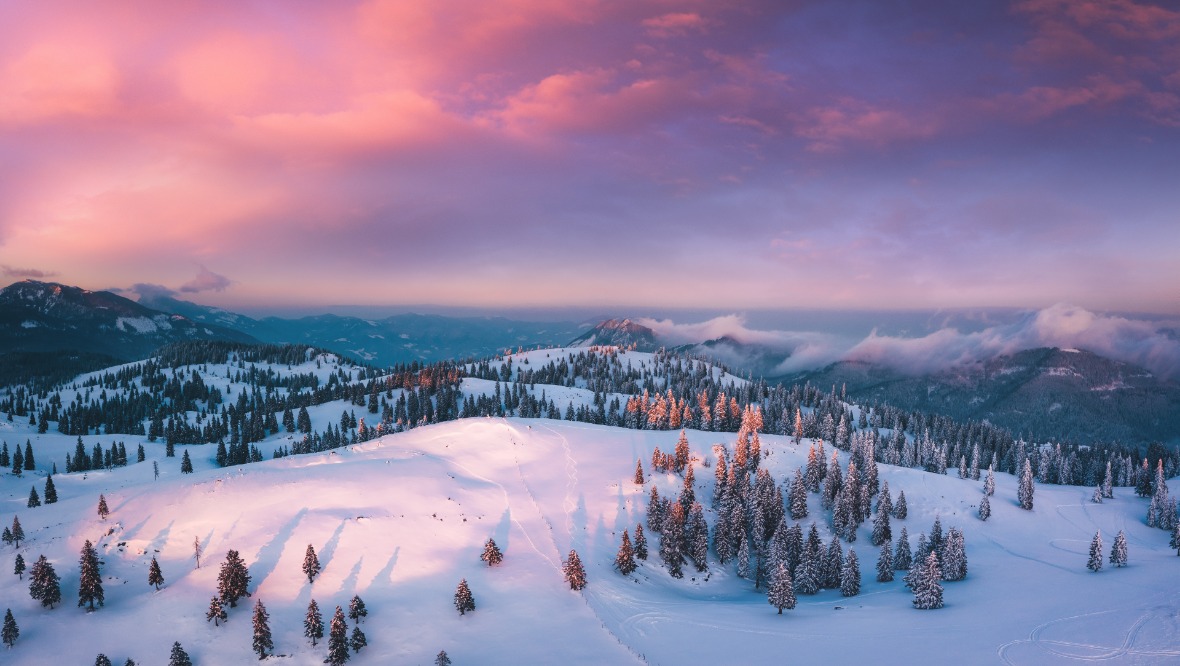
 iStock
Scotland goes well and truly into the freezer in the next few days with extreme low temperatures and snow.
Many northern parts of the country have already seen snowfall with around 10-15cm being recorded in some spots in Aberdeenshire and the north Highlands.
Tuesday will be the snowiest day of the week with widespread snow moving east across the country. The worst areas will be a swathe from around northern Argyll, Stirlingshire, western Fife, Falkirk, Edinburgh and the Lothians, North Lanarkshire, Glasgow, East Ayrshire and possibly Renfrewshire.
While some snow will also fall across other parts of Ayrshire and western Argyll, here it will turn to rain for a time, but this will still prove an issue as temperatures plummet again overnight.
In these areas as much as 10-15cm may fall in some spots – most likely in our usual hot spots such as Harthill, Dunblane, East Kilbride, Lanark and Livingston.
Details may change in the next several hours as this is proving a very tricky system to track, but I’d say if you can work from home on Tuesday then it’s well worth doing so.
Another 5-10cm will fall in the north of the country, but as much as 25cm along with blizzard-like conditions will affect the more exposed areas in the far north and north west.
I think Tuesday will be extremely icy, especially after the daytime snowfall and particularly in the south west across Ayrshire where there will be that rain. Overnight lows will probably be around -6C in Glasgow, -10C in Perthshire and extremes of -15C in the Highlands.
In central, southern and many eastern areas we’ll be back to mostly sunny weather on Wednesday, Thursday and Friday, but snow will continue to pile into the north and especially the north west. I think one of the sweet points for snow this week will be around Assynt, Loch Broom and Loch Maree with over 60cm possible in higher parts by Friday.
This weekend sees a return to milder conditions with rain, and then comes the big thaw, which added to the rain and the fact that the ground will be frozen could lead to some flooding issues. A long way to go until that though, but for now wrap up warm, and get the sledge looked out.
Follow STV News on WhatsApp
Scan the QR code on your mobile device for all the latest news from around the country