Scotland is set to be hit with three days of heavy rainfall as the Met Office issued a yellow weather warning for parts of the country.
The yellow alert will come into force from 6pm on Sunday and will last until midday on Tuesday.
The warning covers parts of Perth and Kinross, Stirling, the Highlands and Argyll and Bute.
The Met Office warned that homes and businesses could be flooded, with around 70-100mm of rainfall expected.
Forecasters added that there could be some interruption to power supplies and other services.
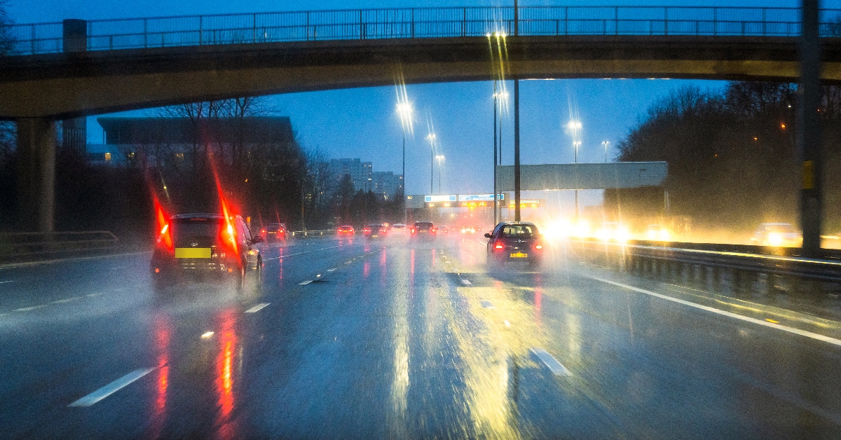
Drivers, as well as bus and train users, have been warned to expect longer journey times due to spray and flooding on roads.
Exposed hills and mountain areas could see more than 150mm of rain fall over the period.
The Met Office added that rapid melting of lying snow will contribute to the rainfall levels.

Insight Philip Petrie STV weather presenter
Today, we have seen a cold front slowly sinking south eastwards across Scotland, bringing with it a narrow band of rain. Once this finally clears through, we will see some blustery showers feeding in behind it, affecting the very far north and north west, and some of these could be wintry on higher ground. Away from that, we have a dry and clear night ahead that will lead to some frost in places and also some icy stretches where we’ve had any showers.
On Saturday, we have a brief spell of sunshine in the morning ahead of clouds and outbreaks of rain moving in from the west. We then enter a warmer sector of air, and therefore, things will be turning milder, with temperatures climbing throughout the weekend.
By Sunday, we see a trailing cold front lingering across the north of Scotland. It doesn’t go anywhere and sticks around for a good couple of days, bringing persistent rain. This is why the Met Office has issued a weather warning for rain that lasts from Sunday evening until Tuesday afternoon.
We will likely see flooding in places and tricky travel conditions as 70-100mm of rain is expected within the warning zone during that timeframe. Any snowmelt in the area will also contribute to this.
Out of the warning zone, we will still see some outbreaks of rain, with things remaining changeable and unsettled for the first half of the week but not as persistent or heavy.
Follow STV News on WhatsApp
Scan the QR code on your mobile device for all the latest news from around the country


