 Abdul Bostani
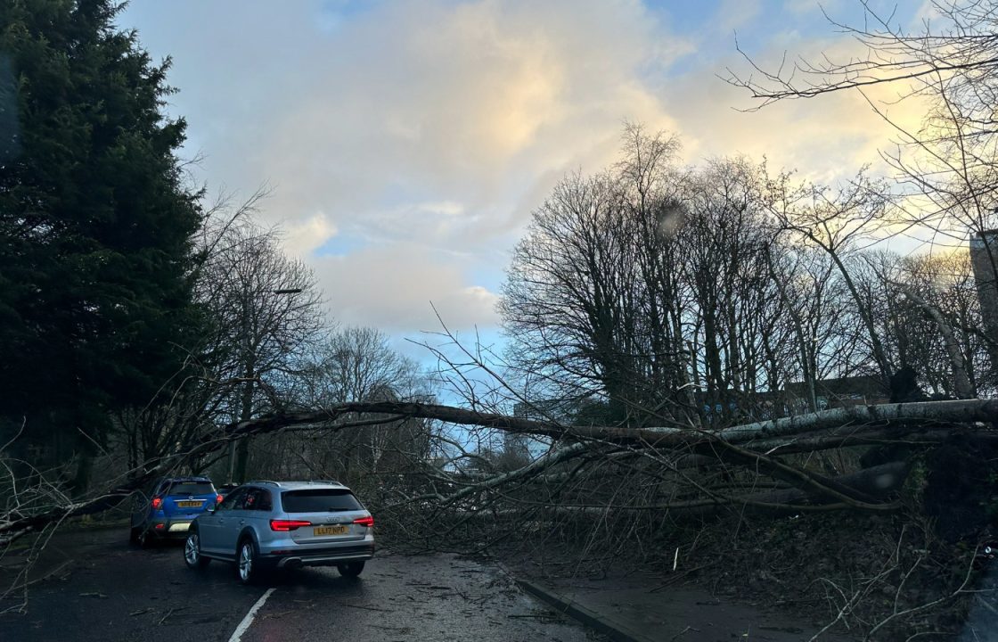
Scotland is to be battered by more extreme weather in the wake of Storm Isha which has left a man dead, thousands without power and widespread travel disruption.
Storm Jocelyn, which arrives on Tuesday, will be the tenth named storm in five months and the Met Office has issued three alerts.
A yellow warning for heavy rain starts at 7am on Tuesday covering a large swathe of the western mainland, including Glasgow, Argyll and Bute and Ayrshire.
It ends at 6pm at which point an amber warning for wind comes into force covering coastal areas across the west and north of the country.


Another yellow warning for wind, covering the entire country is in effect from 4pm until 1pm on Wednesday.
There is a chance of injuries and danger to life from large waves and beach material being thrown onto sea fronts, coastal roads and properties, the Met Office warned.

Insight Sean Batty STV meteorologist
The weather is going through so many mood changes at the moment, from blizzards and extreme temperatures last week to red warnings and extreme winds this week, but what’s going on and will it last?
High above the Arctic a few weeks ago the polar vortex began to slow down, and when this happens it allows colder air to move out of the pole and south towards Europe and North America.
This is partly the reason why the UK, Canada and the US went into a deep freeze last week with temperatures here dropping to -15C in the Highlands while snow hit some southern US states such as Florida and Texas.
But like a coiled spring the polar vortex winds over the Arctic will get back up to speed in the coming days, which pulls the colder air back north and also helps to power up the jet stream crossing the Atlantic.
If you think of weather systems in the Atlantic as spinning tops, when there is a more powerful jet stream this can enhance that spin – making them faster, more powerful and therefore stormy.
This is what’s happening out there just now with Storm Isha on Sunday night and now Storm Jocelyn coming in on Tuesday night.
Storm Jocelyn will be our tenth named storm of the 2023/24 season making it one of the busiest since we starting naming storms in 2015.
The busiest season was the very first one in 2015/16 when the UK was hit by a total of 11 named storms between November and March, but it’s likely this season will become the worst with a good few months to go.
But are storms likely to continue?
Well, while the Atlantic is going to remain active with some stormy systems, it looks like these will start to drift further north.
So whilst it will remain changeable and rather unsettled at times, hopefully we’ll get a break from the worst of the winds. We’ll also not see a return to any lengthy cold and extreme spells for a while too, with any northerly winds fairly transient.
Longer-term we look to what we call global drivers, which are longer term movements and phases in upper level winds and rainfall around the globe which can impact the weather here.
At the moment it looks like these will favour a return to more wintry conditions later in February, so winter still has plenty of time to bite back.
Follow STV News on WhatsApp
Scan the QR code on your mobile device for all the latest news from around the country