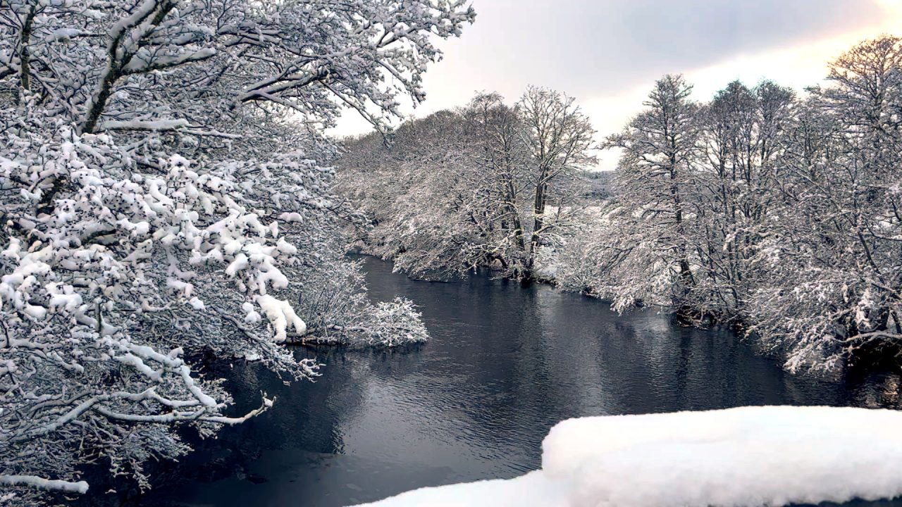
Scotland is to battered with snow and ice with wintry weather bringing travel disruption across much of the country.
Yellow weather warnings have been issued by the Met Office covering northern and eastern parts of Scotland.
As much as 5cm of snow is forecast to fall on higher ground over Tuesday, Wednesday and Thursday.
The first alert comes into force at 5pm on Tuesday and is in force until 11am on Wednesday.
It affects parts of Angus, Aberdeen, Aberdeenshire, Moray, the Western Isles, Highland, Orkney, Shetland, East Lothian and the Borders.
A further warning begins at 5pm on Wednesday and lasts until 11am on Thursday covering northern and eastern coastal areas.
⚠️ Yellow weather warning issued ⚠️
— Met Office (@metoffice) November 28, 2023
Snow and ice across parts of Scotland and northeast England
Tuesday 1700 – Wednesday 1100
Latest info 👉 https://t.co/QwDLMfRBfs
Stay #WeatherAware⚠️ pic.twitter.com/5HcTlMeHGC
It includes parts of Angus, Dundee, Fife, Aberdeen, Aberdeenshire, Moray, Highland, East Lothian, Edinburgh, Midlothian and the Borders.
Wintry showers will lead to ice forming on untreated surfaces during Tuesday evening and overnight into Wednesday morning, the Met Office said.
Snow will build up, especially away from the coasts, with 1cm to 3cm possible. But higher routes in the northeast could see up to 5cm of accumulate.
That's the first snow of winter forecast! pic.twitter.com/OAjNn6LujZ
— ScotRail (@ScotRail) November 28, 2023
The Met Office warned there could be injuries from slips and falls on icy surfaces and ice patches on untreated roads, pavements and cycle paths will make travelling conditions difficult.
Could Scotland see a repeat of the Big Freeze from 2010 this year?

Insight Sean Batty STV Meteorlogist
Scotland is about to be plunged into a lengthy cold spell and I reckon some spots could be looking at their coldest November/early December nights for several years.
The timing and setup is very similar to 2010 when cold air flooded out of Scandinavia and temperatures dropped to lows of -16C in Altnaharra and -14C in Braemar.
At this stage it looks unlikely that we’ll see anything as low as that in the next week, but further south temperatures could get fairly close to the record November lows of -7C in Renfrewshire and -8C in Ayrshire, both recorded in 2010.
There’s good agreement from our computer models for this cold spell to last until at least the end of the first week of December, but beyond that we have a big divergence in scenarios.
To give you an idea we have one showing afternoon highs on December 11 of 13C in Glasgow and another showing -3C.
Follow STV News on WhatsApp
Scan the QR code on your mobile device for all the latest news from around the country


 STV News

