 STV News
Additional warnings for ice and snow have been issued across Scotland as temperatures plummeted during the coldest night of the year.
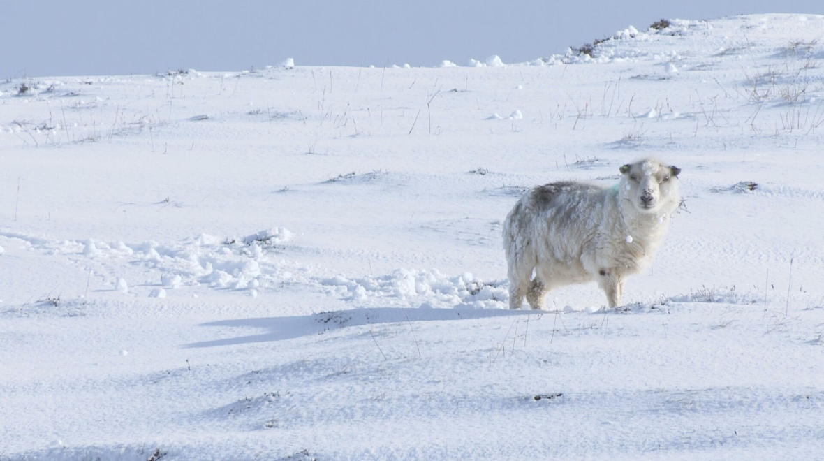
Parts of the country are to remain under yellow alerts for wintry conditions amid an Arctic blast that saw lows of -16C recorded in the Highland village of Altnaharra.
It is the coldest March temperature recorded in the UK for more than a decade, according to Met Office forecasters.
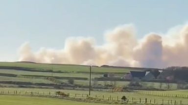
Experts added further snow and ice could cause travel disruption across the country into Friday, when one weather warning spanning from the Borders to Fife and across the Central Belt is due to end at 2pm.
Another, also covering the far northern parts of the country, remains in place until 10am on Thursday, with accumulations of up to 3cm.
Wednesday evening marked the lowest temperature in the UK in the month of March since 2010, when -18.6C was recorded at Braemar in Aberdeenshire.
In England and Wales, two amber warnings for snow will remain in place until Friday while Northern Ireland is under a yellow alert.
The Met Office has said an Arctic air mass from the north meeting mild air from the south is causing the turbulent weather over central areas.
Forecasters said: “An area of low pressure will move across the UK on Thursday and Friday with snow developing in southern Scotland during the afternoon and evening before slowly clearing southeast on Friday.
“Snow will likely turn to sleet or rain at times at lower elevations, especially in the south of the warning area, as well as near eastern coasts.
“In southern Scotland, 10-15 cm is expected quite widely above 100 metres, with a chance that 25-40 cm could fall in some places.
“Additionally, there is potential for strong winds, which may lead to blizzard conditions and drifting of lying snow. Ice is likely to develop widely on Friday night as this system clears away.”

Insight Sean Batty STV Meteorologist
“We’re currently experiencing and extreme spell of weather for March, but also a very complex weather pattern which means forecasting with any great detail beyond a day or two is very difficult, and we’ve seen this happen over the last few days.
“On Monday many of our forecast computer models were indicating a spell of intense snowfall across central and southern Scotland, including the likes of Ayr, Glasgow, Edinburgh and Stirling, but since then the forecast models have progressively adjusted the weather front a bit further south.
“This now means that the main snow activity will fall across the north of Wales and northern England where there could be major disruption to travel.
“Even though the front will not reach all the way into central Scotland as originally thought, there could still be a few centimetres of snow by Friday morning around Glasgow, North Lanarkshire, Edinburgh and the Lothians.
“Heavier falls will occur on Thursday night into Friday across Dumfries and Galloway and the Borders with the risk of around 20cm over the hills. The snow will be made worse by a strong wind leading to blizzard-like conditions on parts of the M74, A7 and A68.
“Snow will continue in the form of heavy frequent showers across northern areas, as has been the case over the last few days with several more centimetres accumulating.
“This extreme spell of weather will continue into next week with possibly record-breaking cold for March and further spells of snow.
“Heavy snow is possible again early next week and over the weekend, but again like the spell in the next few days, this is proving tricky to position as the models continue to struggle with tracking current systems. So while it’s hard to pinpoint specific areas at the moment, over the next week, be prepared for the risk of snow.
“Temperatures will continue to drop into minus figures most nights in the coming week with extreme lows. Temperatures in the Highlands will continue to drop to around -15C, and towns and cities may drop below -5C on some nights.
“This will be a prolonged spell of extreme cold and I’d ask people to look out for those most vulnerable in our communities.”
Follow STV News on WhatsApp
Scan the QR code on your mobile device for all the latest news from around the country