I can now confirm that Scotland is currently experiencing its coldest January weather for 15 years, and tonight could see even lower temperatures before milder conditions arrive at the weekend.
Altnaharra reached -14.6°C this morning – pushing past the previous January extreme of -14.3°C recorded in Braemar on January 31, 2019. This makes this morning’s figure the lowest January temperature since the severe cold of 2010 when the mercury hit -22.3°C on January 8, 2010 in Altnaharra.
The location has remained below -10C all day today with an astoundingly low maximum of -10.8°C at 1.30pm. While this is extreme, it’s not quite an all-time record here with -13.8°C experienced on the afternoon of 21 December 2010. While not an all-time record, it’s still significant as it’s the coldest January day on record.
Another big headline to add to this extreme cold spell, is that it looks like the small village of Kinbrace in the north Highlands has just had its coldest day on record with an incredibly low maximum of -9.6°C. This beats the previous record set back on Christmas Eve 1981 when the village only reached -8.3°C. This is very significant as far as records go, as the weather station here has been on the go since 1956.
With such low temperatures this afternoon, these have to be in the running for the lowest temperatures tonight, and possibly close to that -20°C figure.
This weather spell is remarkable because of how quickly it’s brought us to such extreme conditions. Unlike the longer spells we’ve experienced in the past, this one is relatively brief, yet it has rapidly plunged afternoon temperatures to unusually low levels. Typically, it would take several days of perfect conditions to reach such frigid temperatures. What’s even more fascinating is that Kinbrace is now experiencing colder afternoon weather than it did during the infamous big freeze of 2010.
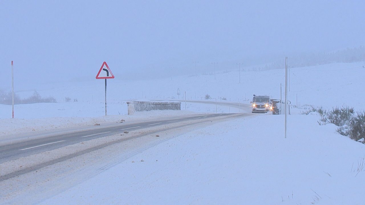
The past few nights have been challenging for forecasting overnight lows due to breezier conditions and patchy cloud cover, which have also brought occasional snow showers to the north.
Tonight, however, snow cover, clearer skies and lighter winds will create ideal conditions for even lower extremes in the north.
The coldest spots will be in the north and east Highlands, west Aberdeenshire, and southern Moray, where a few locations could approach -20°C.
Further south, temperatures won’t be as extreme but will still drop significantly, reaching around -8°C in colder areas of Lanarkshire, the Borders, Perthshire, West Lothian, and Midlothian.
Meanwhile, the west will begin to see the first signs of milder air on Saturday. Rain along the west coast and the Hebrides will bring temperatures up to around 8°C. As this rain moves inland over Argyll, Renfrewshire, Glasgow, Dunbartonshire, Stirlingshire, and inland Ayrshire, it may initially fall as snow before transitioning to rain at lower elevations.
By Sunday, milder conditions will take hold across much of the country, though northern and eastern areas will remain chilly at around 5°C – although a notable uplift from the subzero daytime highs of recent days. The Hebrides could reach 10°C by Sunday evening, accompanied by stronger winds and rain.
On Monday, milder air will sweep across the whole country, with afternoon highs potentially reaching 13°C in parts of Moray and Aberdeenshire. This will also bring a big thaw to the ice and snow.
Looking further ahead, milder conditions are expected to dominate in the short term, though there are some indications of colder weather again later in the month. I’ll keep an eye on developments and keep you updated!
Follow STV News on WhatsApp
Scan the QR code on your mobile device for all the latest news from around the country