 iStock
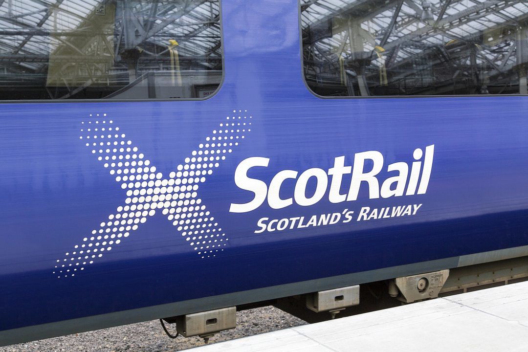
Rail passengers are facing major disruption to services after lines were flooded following heavy rainfall.
There were thunderstorms across parts of Scotland on Saturday, with the Met Office having issued a yellow weather warning.
ScotRail on Saturday evening said that they could not run any trains via Dalmuir on any route, after the lines through Dalmuir were flooded, whilst advising against travel to Yoker due to flooding at “multiple locations”.
Network Rail said that there was as much as 8ft of water in Dalmuir’s twin tunnels, having been faced with 30mm of rain in just 60 minutes.
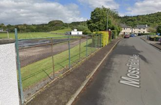
The station at Singer was later reopened having been inspected by rail staff.
Network Rail also reported that the line between Argyle Street and Bridgeton is closed, with 11 track circuits – which are part of the signalling system – having all failed in that area.
Meanwhile, on Glasgow’s Great Western Road, cars were seen driving through flood water while a couple was forced to abandon a car underneath Drumchapel railway bridge after it became submerged.
Claire, a local resident, told the PA news agency: “They walked through the water up to their waist. I went to get (a) train and all (were) cancelled so had to wade home in rain up to my calves.”
The Met Office has indicated that there will be more showers and thundery downpours on Sunday across parts of the UK.

STV Weather meteorologist Sean Batty explained: “After a very dry July for most of the country, and for some parts of the south west, the driest July on record we’ve seen a return to typical August weather.
“August is usually our wettest summer month and it’s also the point in the year where the heat has built up across Europe which also means that showers can become very thundery too.
“It’s these showers that bring us the images we see across the continent a lot during the summer of big hailstones and torrents of water.
“We’ve got one such thundery plume crossing the country at the moment, with some very potent showers bringing intense downpours.
“Some areas of central and western Scotland could see as much as 30mm fall in the space of an hour, which means there’s a risk of about a quarter of a month’s worth of rain from just one shower.”
Sean added: “Sunday will see the heaviest showers moving to the east of the country with the wettest area likely to be in Moray and Aberdeenshire by then.
“The unsettled and more changeable weather looks set to continue until at least mid-August, but there are some tentative signs of settling later.”
Follow STV News on WhatsApp
Scan the QR code on your mobile device for all the latest news from around the country