After weeks of colder and relatively settled weather, we’re about to shift into a much more unsettled but milder spell.
Temperatures on Thursday and Friday could climb into the mid-teens in parts of the north, particularly around Moray and the north Highlands.
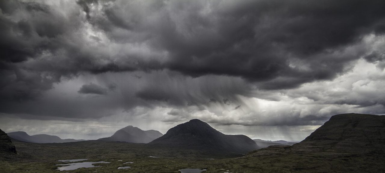
However, the biggest talking point will be rainfall, especially on Friday and Sunday, which are set to be the wettest days.


On Friday alone, areas such as Argyll, East Ayrshire, Stirlingshire, and Perthshire could see as much as 70mm of rain on higher ground.
Combined with additional rainfall on Thursday and Sunday, totals could exceed 100mm in the wettest parts of the west Highlands and the western end of the Southern Uplands.
To put that into perspective, Perthshire typically sees around 100mm of rain for the entire month of February, meaning some areas could receive three weeks’ worth of rain in just a few days.
Other particularly wet spots will include the higher areas of Renfrewshire and Inverclyde, where around 60mm could fall—Clyde Muirshiel will be especially wet.
Strong winds will also be a feature in the coming days, with the worst conditions again expected on Friday and Sunday.
Wind gusts up to 70mph are possible for a time on Friday across Arran, Kintyre, the Small Isles, and the Outer Hebrides, with similar gusts expected again on Sunday, extending to the Northern Isles.
Looking ahead, this unsettled pattern is likely to continue until March, with further spells of windy and wet weather, interspersed with brief colder, more wintry periods.
At this stage, it looks like March will come in like a lion — let’s hope it goes out like a lamb though.
Follow STV News on WhatsApp
Scan the QR code on your mobile device for all the latest news from around the country