Temperatures have plummeted causing dangerous ice to form across Scotland with a weather warning in force on Wednesday morning.
A Met Office alert for ice came into force at 9pm on Tuesday and remains in place until 10am. There is an increased risk of transport disruption and the potential for accidents.
The warning covers most of the country, including the Central Belt, Highlands, Grampian, south-west and Strathclyde regions.
A further weather warning for wind follows, starting at 4pm on Wednesday and lasting until 9am on Thursday. It comes from the northwest of the country, the Hebrides, Orkney and Shetland.
The Met Office warned it is likely that some coastal routes, sea fronts and coastal communities will be affected by spray or large waves.
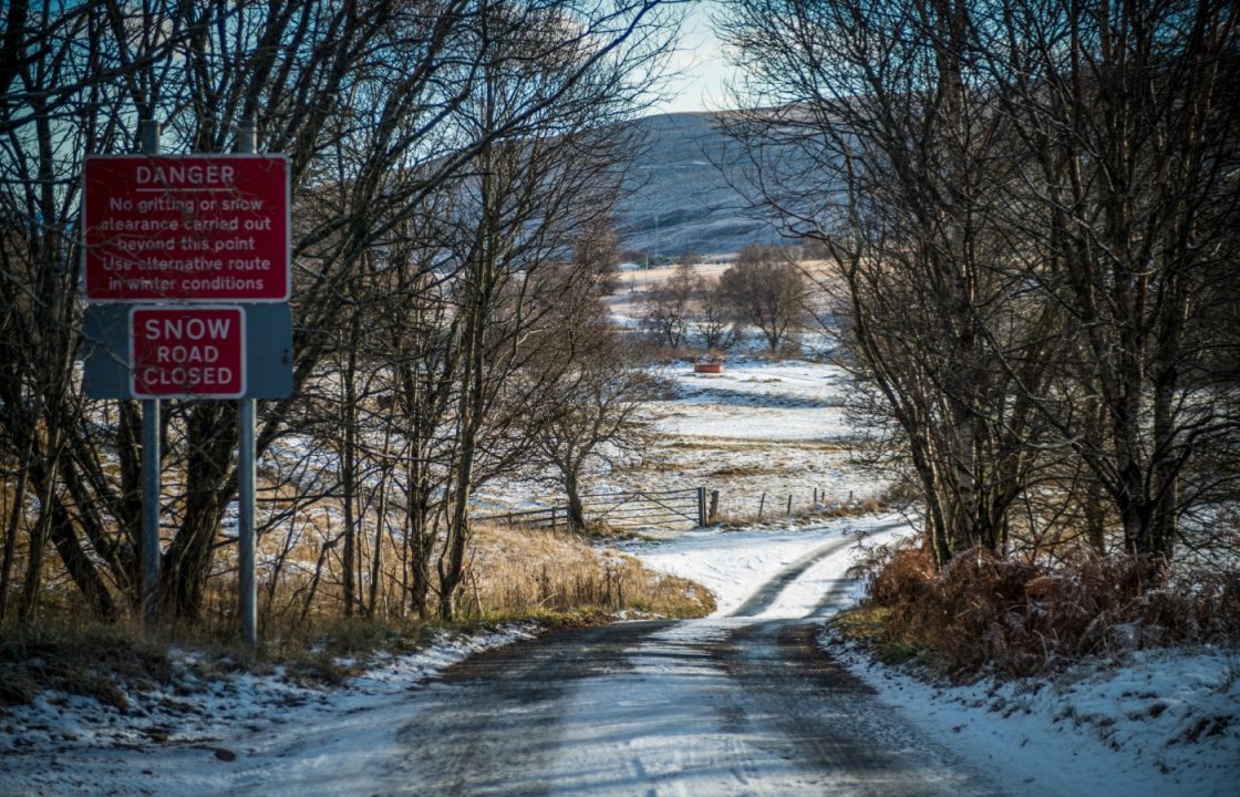
Snow gates were closed at Spittal of Glenshee northbound on the A93 and at Braemar southbound, and also on the A939 northbound at Cock Bridge and southbound at Tomintoul.
There were reports of cars stuck in snow further south in the Crianlarich area early on Wednesday.
A band of rain and snow moved east on Tuesday, leading to snow lying on higher transport routes.
Temperatures drastically fell during the evening, with ice forming on untreated surfaces.
Some parts of the country will be hit with strong winds, bringing gusts of up to 75mph, into Wednesday.
The Highlands, Orkney, Shetland, Argyll, and Bute will face the second yellow warning, with gusts likely to reach 50-60mph and 65-75mph possible in some places, especially around exposed coasts.

Insight Philip Petrie
We had a ridge of high pressure with us over the start of the week that has kept things fairly settled, but unfortunately, the rest of this week is looking unsettled and changeable.
On Tuesday, a frontal system moved through bringing with it a band of rain. As the rain hits the cold air that is currently over the country it will fall as snow on the leading edge. Most of the snow will fall on ground above 300m, around the western Highlands with 10-15cm likely on higher routes such as the A9 and A82 so despite us not having any warnings in place for the snow, we will see some disruption.
Down to lower levels we could see about 1-2cm on ground below 100m, so only minor accumulations.
The main concern, however, is that following that band of snow and rain, we have had clear skies overnight, which could lead to some icy patches on any untreated surfaces. Therefore, the Met Office has issued an ice warning covering most of Scotland from 9pm Tuesday until 10am Wednesday, as there is a belief there could be an increased chance of incidents.
We have a bit of a repeat performance on Wednesday. After a clear and dry start to the day, another band of rain will move through during late afternoon. However, there will also be some extremely strong winds accompanying the rain. A wind warning has been enforced from 4pm Wednesday until 9am Thursday covering the northern and western islands, as we could see gusts up to 70mph around exposed coasts and also widely gusts of between 50-60mph.
Thursday will give us another wet and windy day to come with heavy spells of rain, but Friday promises to be a better day with a slight drop in temperatures but drier and brighter conditions on offer.
Follow STV News on WhatsApp
Scan the QR code on your mobile device for all the latest news from around the country


