 iStock
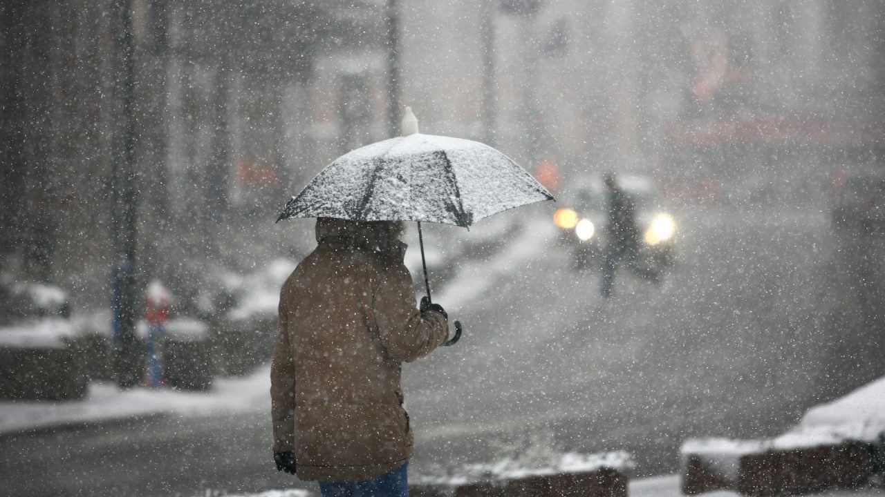
Snow showers are set to batter parts of Scotland in the coming days, with icy conditions also expected after the Met Office issued two weather warnings.
Northern parts of the country including the Highlands, Aberdeenshire, Moray, Orkney and Shetland as well as the Western Isles and parts of Argyll and Bute will be subjected to wintry weather.
The yellow weather warning for snow and ice was brought forward from 5pm on Sunday to 2pm, and is set to continue until 10am on Wednesday.
The Met Office said: “Frequent wintry showers, mainly of snow, will feed into northern Scotland during this period.
“A few centimetres of snow are likely at low levels over a given 24 hour period, with the potential for ten to 15cm above 200 metres, especially across parts of the Highlands.
“Ice will be an additional hazard, especially Tuesday night.”
Meanwhile a second yellow weather warning for ice has been issued from 6pm on Sunday until 10am on Monday for parts of Dumfries and Galloway, Ayrshire, South Lanarkshire and the Scottish Borders.
The Met Office has warned of travel disruption on roads and on the railways and Scots have been urged to be cautious amid a warning of slippery untreated surfaces.
It comes as STV meteorologist Sean Batty warned that temperatures are set to drop across Scotland over the coming week.
He said that overnight lows will get down to around -5C in towns and cities, but -15C possible is possible in the Highlands on Monday and Tuesday night.
“While conditions may be similar to those of several weeks ago, it won’t be anywhere near as prolonged,” said Sean. “This is a short, sharp reminder that it is indeed January and it is winter, even though it feels more like we experience long extended autumns these days.
“More brief cold snaps look likely in the coming weeks, but nothing overly prolonged. However, a few models, and I’ll stress just a few, are showing a breakdown of the polar vortex at the start of February.
“When this happens, it increases the risk of very cold and snowy conditions, so this a risk mid-February, but a very small risk for now, so watch this space…”
Follow STV News on WhatsApp
Scan the QR code on your mobile device for all the latest news from around the country