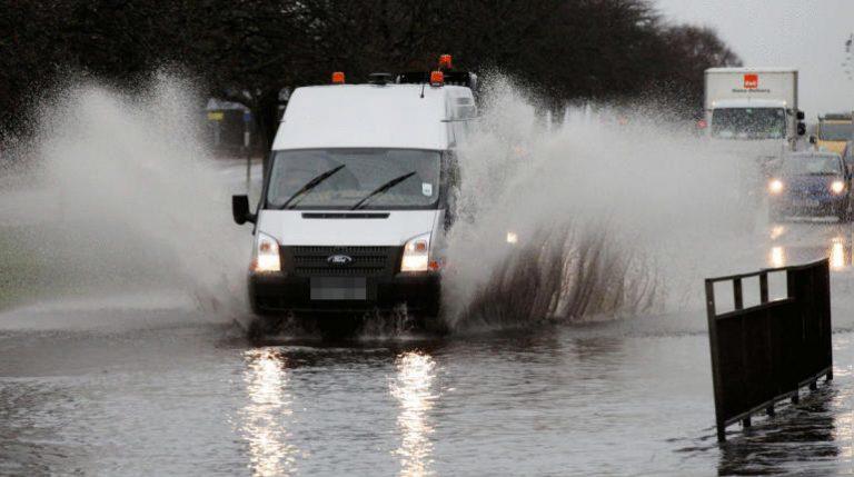
Fallen trees and flooding have caused travel disruption to commuters as the remnants of Hurricane Ernesto batter Scotland – with Storm Lilian on the way.
As much as 18 days’ worth of rain was expected to fall within 72 hours accompanied by strong winds with gusts of up to 60mph.
A Met Office weather warning for rain covering the west of the country was in force from 11am on Wednesday, with a wind alert coming into effect at 1am on Thursday.
Areas affected by heavy rain – including Glasgow, Ayrshire and other places in western Scotland – are likely to see 75-100mm of rainfall over the course of two days, though more is forecast over higher ground.
The Met Office confirmed Storm Lilian is now set to sweep the UK bringing heavy rain on Thursday and Friday, with southern parts of Scotland to be hit with heavy rain and wind.
Forecasters expect up to 40mm of rain overnight and into Friday morning in areas such as Dumfries and Galloway, the Borders, across the east of Scotland and as far as Aberdeenshire.
Commuters on the A75 are facing disruption after two incidents of fallen trees blocking the major road, with the road at Cardoness closed in both directions.
Traffic Scotland said the Trunk Road Incident Support Service (TRISS) are on the scene after 9am with traffic heavy and diversions in place via the A712 at New Galloway and the A762 to Gatehouse.
Earlier on Thursday, another fallen tree between Cree town and Auchenlarie caravan park blocked the A75.
Meanwhile on the M8 drivers have been faced with flooding at junction 19 heading east towards Glasgow’s Bothwell Street as the road was restricted.
Crews are said to be on site to clear the water.
Amey said the A78 between Branchton Station and the BP garage in Greenock was restricted due to flooding coming off the hills from the railway line.
Flooding also hit the A78 heading north at Seamill between Yerton Brae and Portencross at rush hour on Thursday before being cleared before 10am.
ScotRail services between Glasgow and Wemyss Bay were cancelled after a tree fell onto the tracks.
The transport provider said a tree was blocking the line between Port Glasgow and Whinhill with services at rush hour across that route impacted.
The A83 Rest and Be Thankful, previously hit with a number of issues such as landslips, was opened on Thursday morning via the Old Military Road to allow drivers to travel safe.
A number of CalMac sailings were forced to cancel on Thursday morning due to “adverse weather” including services from Mallaig to Small Isles being halted for the remainder of the day.

Insight Sean Batty STV News Meteorologist
Storm Lilian is expected to pose a greater threat to England, particularly regarding strong winds. However, parts of the southern coast of Dumfries and Galloway could also experience gales during the early hours of Friday, with gusts potentially reaching 50-55 mph in areas like Annan, Kirkcudbright, Port William, and even inland to Lockerbie. The Borders region could also see gusts of 40-50 mph tomorrow morning.
For our region, the primary impact of Storm Lilian will be heavy rainfall. The west of the country has already seen significant rain this week, with some areas accumulating nearly 100mm.
Lilian’s heaviest rain, however, will fall further south, affecting areas that have seen less rainfall recently. Dumfries and Galloway, the Borders, East Lothian, Mid Lothian, Fife, Angus, and Aberdeenshire could receive up to 40mm of rain overnight and into Friday morning, with the Southern Uplands potentially seeing even more.
As we head into Friday and the weekend, we’ll return to blustery westerly winds and scattered showers, especially in the west.
On a brighter note, there are signs of more settled and warmer weather towards the end of the month and into early September—something to look forward to.
Follow STV News on WhatsApp
Scan the QR code on your mobile device for all the latest news from around the country


