 Getty Images
Heavy rain will affect parts of Scotland in the coming days — particularly Aberdeenshire, Perthshire, Angus and northern Stirlingshire.
An amber weather warning is in place for Thursday for areas including Perth, Ballater and Pitlochry.
Over higher ground, that rain will increasingly turn to snow as freezing levels fall. Some mountain tops could see up to 40cm of fresh snow between today and tomorrow.
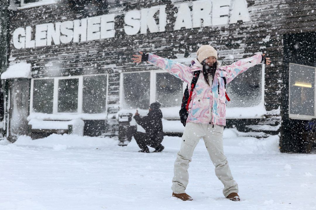
With the heaviest precipitation focused on the southern and eastern Grampians, this is excellent news for Glenshee and The Lecht.
A colder spell following the snowfall should help lock that snow in place, and with further snow this weekend and next week, conditions could be shaping up for a fantastic end to January and start of February at some of our resorts.
Meanwhile, very cold air is firmly in place across eastern Europe and Russia, with temperatures currently 10 to 15C below average in some areas.
A portion of this colder air is expected to edge westwards across Scandinavia in the coming days and towards Scotland this weekend.
At this stage, the cold doesn’t look extreme. Daytime temperatures for most areas are likely to sit around 2 to 5C, with overnight frosts becoming more widespread.
While The Lecht and Glenshee look set to see the greatest snowfall over the next few days, early next week could bring another spell of heavy snow to Scotland’s hills — this time pushing in from the west and has the potential to bring a massive snow boost to other resorts as well.
The low-level snow picture is less clear. Scotland looks set to sit close to the boundary between milder Atlantic air and colder continental air, where just a degree or two will make all the difference.
This would be a much clearer snow signal if we were tapping directly into the deep cold, but that currently looks unlikely, at least early next week.
That said, this is definitely one to watch. Easterly flows associated with Scandinavian highs — something we’ve seen less often in recent winters — can deliver severe cold and significant snowfall when the positioning is right.
So in short: great news for the ski centres, but at lower levels we’ll need to wait and see whether the deeper cold manages to push across Scotland next week, or whether Atlantic air holds it at bay.
Either way, it’s set to turn colder and more wintry again.
Follow STV News on WhatsApp
Scan the QR code on your mobile device for all the latest news from around the country