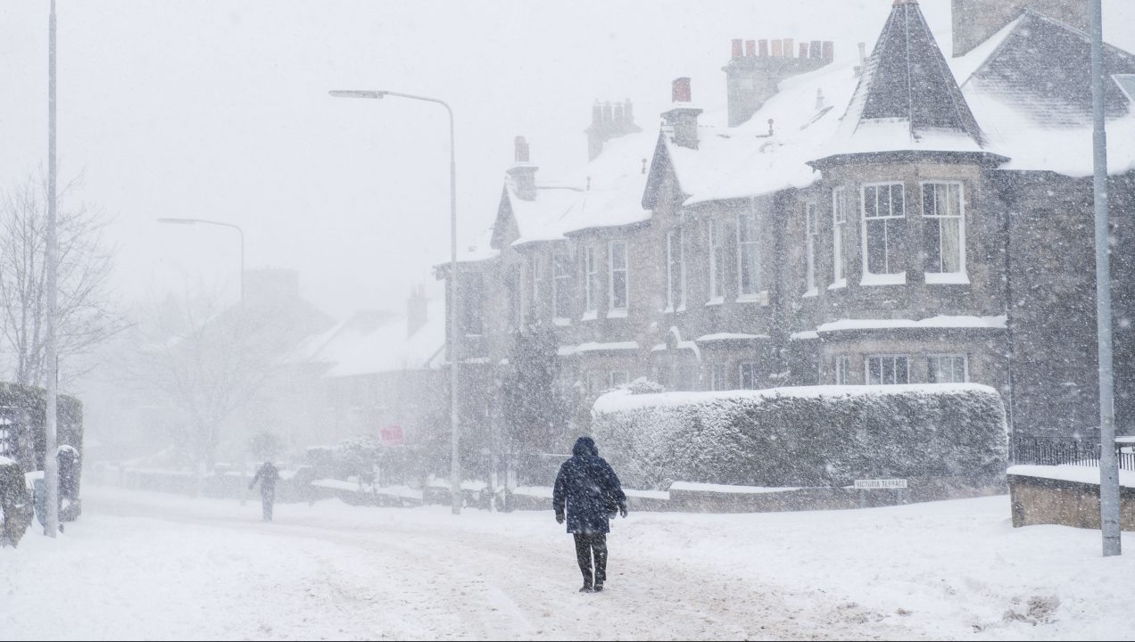
An amber weather warning has been issued as more snow is set to hit the majority of Scotland.
The Met Office alert will be in place from 3pm on Wednesday until 10am on Thursday morning.
The main areas at risk are Stirlingshire, central and eastern Highlands, Perthshire, Falkirk, Clackmannanshire, North Lanarkshire, western Fife, southern Mid Lothian and the Borders.
A yellow warning for snow and ice is already in place for most of the country and it’s expected to last until 9pm on Thursday night.
⚠️⚠️Amber Warning issued⚠️⚠️
— Met Office (@metoffice) January 13, 2021
Snow across parts of Scotland and northern England
Wednesday 1500 – Thursday 1000
Heavy snow will cause disruption with a possibility of power cuts and roads becoming blocked by snow ❄️❄️
Latest info 👉 https://t.co/QwDLMfRBfs
Stay #WeatherAware pic.twitter.com/IOA7nQ5Vua
Rain will turn to snow across the country on Wednesday afternoon and evening, initially on high ground, but increasingly to lower levels.
During the night, the risk of snow will extend southwards and 10 – 20cm of snow is likely to accumulate above 200m with even greater amounts in higher areas.
Snowfall of 5 – 10cm is likely on lower ground by Thursday morning.
It will continue to fall through the morning and will slowly die out during the afternoon.
STV Meteorologist Sean Batty says snow this deep will make travel very difficult and could mean some higher areas become cut off with roads becoming impassible.
He said: “The next few days will see a battle between cold and warm air over Scotland, and it’s these situations that can bring large amounts of snow, and can even occasionally catch us meteorologists out too as forecasting details can be really tricky.

“Today we see the warmer air form the Atlantic clashing with cold air embedded in the north and east, which really doesn’t want to move. Where these air masses meet we’ll see a lot of snow over high ground in particular during Wednesday evening and into Thursday morning.
“In areas with a bit of elevation, around 200m plus, we could see as much as 20cm fall in some spots.
“Even at low levels there’s a risk of up to 10cm by Thursday morning. Snow this deep will make travel very difficult and could mean some higher areas become cut off with roads becoming impassible.
‘Snow this deep will make travel very difficult and could mean some higher areas become cut off with roads becoming impassible.’
Sean Batty. STV Meteorologist
“We also have the added issue, that with fewer cars on the roads at the moment they could actually be icier than they would usually be.
“Ice will be more an issue in the north and east with temperatures around freezing on Wednesday night, while on the west coast and Hebrides the milder plume of air will boost overnight values to 8C.
“More spells of rain and hill snow will occur over the weekend, but longer term it’s time to get ready for more wintry conditions, as we’ll see further spells of cold and snowy weather in the coming weeks as a more prolonged colder spell looks set to move in.”
Follow STV News on WhatsApp
Scan the QR code on your mobile device for all the latest news from around the country


