After a few quiet days, it’s time to prepare for a tumultuous week as low pressure systems barrel in from the Atlantic.
There’s me got next week off as well, and it looks like it could end up being one of the most unsettled weeks of the winter. That’s doubly bad for me, because I miss out on working during bad weather and means I’m stuck in the house.
The Met Office has already decided to name this weekend’s storm as Ciara, but if current computer models are right, I reckon it won’t be too long until we have Storm Dennis too.
Most of our storms can be blamed on temperature contrasts between Canada and the United States, and at the moment there’s a big contrast due to much warmer air in the south. As has been the case throughout most of this winter, we’ve had pulses of much warmer air moving around the northern hemisphere, and we’ve got one such pulse at the moment in the south east of the US.
All the way from Louisiana in the south to Virginia on the east coast, temperatures are around 10-15 degrees higher than normal. In contrast, colder than average conditions are spilling into central Canada and this difference across the land mass is kicking the jet stream into a frenzy.
There are two main jet streams in each hemisphere; the one I’m talking about here is the polar jet. This lies about 30,000 feet above us and usually meanders like a river over the likes of the US, Canada, northern Europe and Russia, driving areas of wind and rain along with it. The faster it goes this usually equates to stormier conditions. The power of the jet is driven by contrasts in temperature, and when this is large it goes faster.
The temperature difference in the next few days will push the jet speed up to nearly 250mph coming out of Canada. While this is great news for people flying back to the UK from the US or Canada, as it will cut down flight times, it’s not great for us on the ground as a stronger jet intensifies rainfall and wind speeds in the form of storms.
With the jet firing on all cylinders by Friday, this will explosively deepen a low pressure system, which will be dumping large amounts of snow on parts of the US, and push it towards us later in the weekend. Expect to hear the term ‘weather bomb’ in the coming days, as the storm is expected to intensify rapidly on Sunday as it moves towards Scotland.
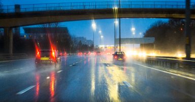
From Storm Ciara we should expect winds to gust up to 60mph on the mainland and as high as 80mph around the northern and western coasts and islands. Unfortunately the full moon is on Sunday. Now I don’t say that to make this sound more sinister, but because this will be happening around a full moon it means tides will be higher than usual, and with the addition of a storm surge brings a possibility of coastal flooding to some communities.
After Storm Ciara passes the jet stream looks like it’ll speed back up after a brief lull, which brings the possibility of another storm system (Storm Dennis?) later in the week. Although that’s a long way off meteorologically speaking, so I’ll not give any details yet.
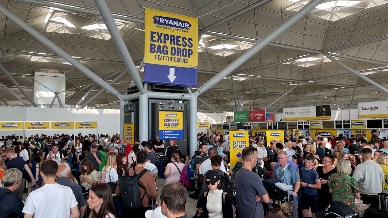
The short is, we’re in for a very unsettled weekwith the risk of damaging winds, flooding and travel disruption. I’d say that it looks like there will be major disruption this weekend and next week for the ferries.
As always I’ll be keeping you up to date with the latest details.