 iStock
Speed restrictions are to be put in place on major train services in the North East of Scotland as heavy rain is expected to bring flooding.
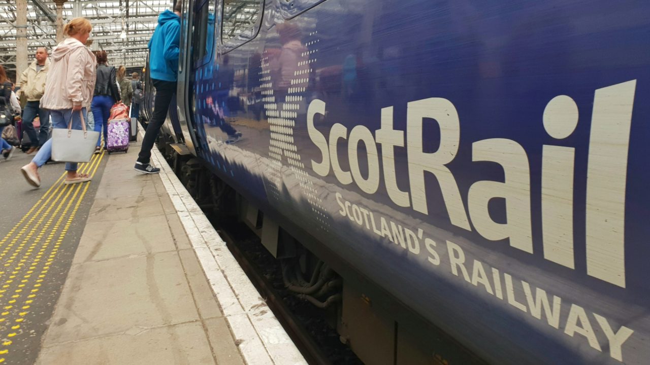
Network Rail announced trains on key routes between Aberdeen, Inverness, Dundee and Perth will travel at slower speeds amid a yellow weather alert for Wednesday.
The Met Office warning covers Angus, Aberdeenshire, Moray and the Highlands on Tuesday, July 9 from 10pm until 11.59pm on Wednesday, July 10.
ScotRail confirmed delays of 20 minutes are expected on the Aberdeen to Inverness line, while some services between Inverness and Elgin will be suspended.
From Inverurie to Aberdeen and Montrose, some services will start and terminate at Aberdeen, while Dundee to Aberdeen commuters can expect ten to 15 minute delays.

Perth to Inverness journeys may also be delayed by around 15 minutes.
A Network Rail post on X read: “We put these in place to keep you safe while on the move.
“Please check with your operator for specifics on how it may impact your journey.”
ScotRail added: “Due to heavy rain and strong winds expected tomorrow, Network Rail are imposing speed restrictions across some routes and therefore extending journey times.
“Please check your journey before you travel and see below for more detail.”
Residents are being advised to expect some communities to be cut off by flooded roads, difficult driving conditions because of flooding and spray, and fast flowing or deep floodwater which could cause “a danger to life”
The forecast predicts between 50 to 90mm can be expected across the north and northeast, while other areas can expect to see between 20 and 30mm over the warning period.
The forecast reads: “Areas of rain moving into northern Scotland from late Tuesday into Wednesday are expected to become heavy with some embedded showery outbreaks as the band slows down and focusses across the east coast and Moray Firth.
“20-30mm through the period is expected quite widely, however localised heavier bursts of rain likely to build totals toward 50-75mm with up to 90mm possible across Grampians and Northwest Highlands.”
Follow STV News on WhatsApp
Scan the QR code on your mobile device for all the latest news from around the country