 STV News
If you’re reading this from Aberdeen or the shire, you won’t need me to tell you just how rotten January has been – but honestly, what a month.
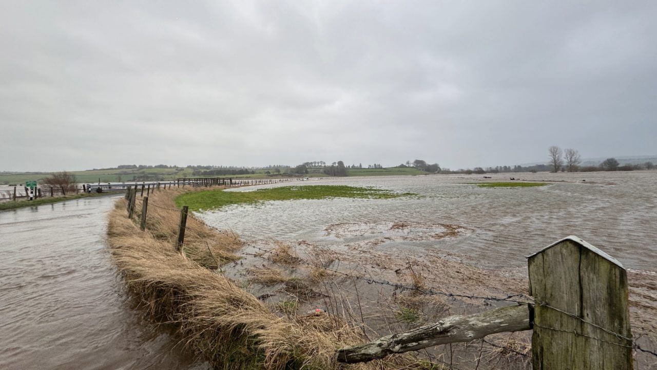
The January statistics are in, and they make for grim reading. It’s been markedly cloudier, wetter and colder than average across the north east.
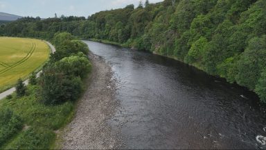
Much of Aberdeenshire and Angus saw around twice the normal rainfall, making it the wettest January since 2016, when the River Don reached its highest level in 45 years, and the River Ythan burst its banks.
Overall, it ranks as eastern Scotland’s ninth wettest January on record, with records going back to 1836, although that figure is slightly skewed by drier conditions in parts of central Scotland.
The month also got off to a snowy start. Aberdeenshire was one of Scotland’s snowiest locations in January, with a remarkable 52cm of lying snow recorded during the first week at Oyne. Tomintoul in Moray also recorded 52cm.
It hasn’t just been the heating that’s been working overtime. Aberdonians will have had the lights on for much of the month, too, thanks to exceptionally dull conditions. Areas such as Fordoun, Inverbervie, Johnshaven and Catterline recorded just 30% of their usual January sunshine. Looking back to at least the year 2000, I can’t find a duller January for this area, which is quite something. Across eastern Scotland as a whole, sunshine totals were low, though again the average was lifted slightly by brighter than usual conditions in Kinross and parts of the Lothians.
Temperature-wise, the picture is less dramatic but still below average, largely due to a cold, snowy start and only a modest recovery in the second half of the month. In fact, January ended up feeling very similar to January 2025, which also began cold and wintry.
So what’s behind these miserable headlines for the north east? The culprit has been a large, stubborn high-pressure system over Scandinavia, which has blocked weather fronts from clearing eastwards into the North Sea.
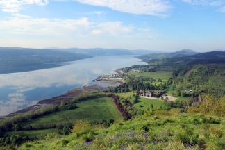
Instead, they’ve stalled over Aberdeenshire, bringing what has felt like relentless cloud and rain. This high pressure has also locked us into an unusual easterly airflow for weeks. As a result, the west – particularly the north-west Highlands – has been far drier than normal, with Loch Glascarnoch receiving only around a quarter of its average January rainfall.
Unfortunately for Aberdeenshire and Angus, there’s little immediate relief on the horizon. The airflow shows no sign of changing anytime soon, meaning further rain and snow in the coming days. It’s only when the intense cold and high pressure over Norway, Sweden and Finland finally shift that this pattern is likely to break.
Follow STV News on WhatsApp
Scan the QR code on your mobile device for all the latest news from around the country