Snow has hit parts of Scotland as a cold snap sweeps through the country bringing heavy rain and strong winds with it.
Cold conditions are set to continue into the weekend after some parts of the country experienced snow flurries on Thursday.
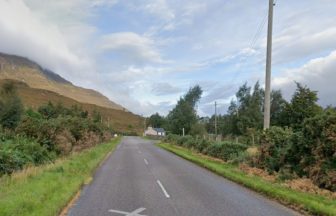
The snow has mainly been seen on higher grounds such as the A9 near Aviemore.
The snow is expected to continue into Friday, but will mainly hit higher grounds, according to STV weather presenter Philip Petrie.
 STV News
Blustery showers are expected into the weekend, some of which may come with some thunder and hail.
The wintry conditions are set to be most persistent across parts of the Northern Isles, the north west Highlands, Argyll and Bute and the Western Isles.
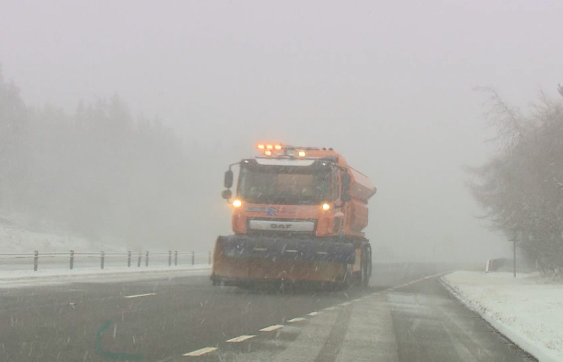
Transport Scotland confirmed that 29 gritters will take to the roads as temperatures are expected to get close, if not below, freezing.
The presenter warned that frost nights are to be expected into the weekend as temperatures are set to plummet to below freezing.

Insight Philip Petrie STV weather presenter
Earlier on Thursday a cold front crossed the country, which has brought with it heavy rain and strong winds for southern parts of the UK, but for us here in Scotland it has put us into colder air, and a more showery regime.
Over the next couple of days up until the weekend we can expect to see frequent, blustery showers moving in from the west – some of these could be quite heavy at times, with the odd rumble of thunder and also some hail in the mix.
They will be most persistent across parts of the Northern Isles, the north west Highlands, Argyll and Bute and the Western Isles.
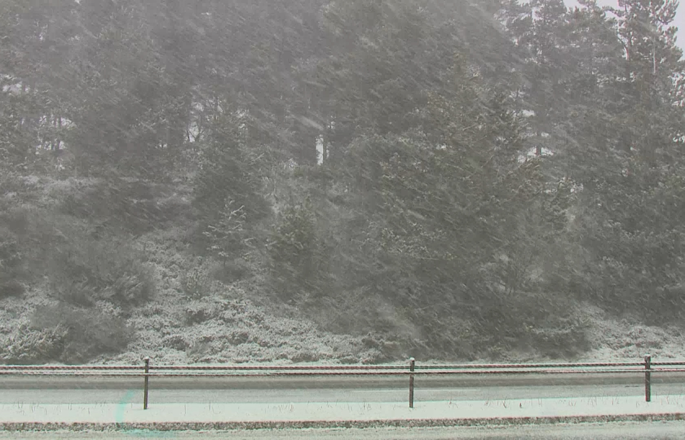
This showery regime is expected to continue overnight Thursday and all day Friday, bringing with it snow showers, but the snow is confined mostly to higher ground – which is why higher routes such as the A9 have seen some flurries on Thursday.
By Saturday though we are expecting to see less showers, and any we do see will be less intense. Temperatures have dropped on Thursday, so it is feeling more chilly compared to recent days, but the temperatures are more on average for the time of year numerically with highs of around 6C to 8C.
We’ll be seeing some frosty nights over the next couple of evenings, as temperatures are likely to get close to if not below freezing – this could also lead to some icy patches forming anywhere we have seen those heavy showers.
Follow STV News on WhatsApp
Scan the QR code on your mobile device for all the latest news from around the country