Mountain rescuers have issued a warning to hikers hoping to take on the Skye Trail after a record 80 call-outs this year.
The week-long trek takes in scenic landscapes, cliffs, rivers and marsh over 80 miles sprawling across the island.
Following the surge in call-outs, mountain rescue teams have urged walkers to be fully prepared and aware of the dangers.
The Skye Trail is unofficial and unwaymarked, with walkers typically beginning in the south at Broadford and heading to the most northerly point at Rubha Hunish.
The second half from Portree north is far more challenging, with steep ridge ascents, rocky paths and wet peat bogs, as well as high exposure to wind and rain.
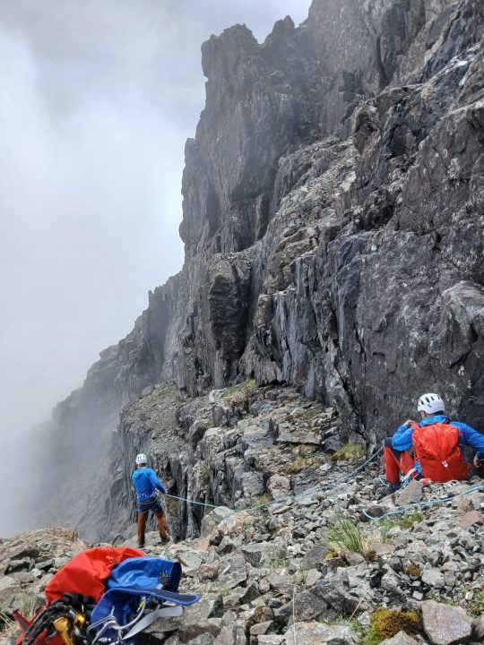
The vast majority of call-outs are from the Trotternish Ridge, a 14-mile section of ridge with 2,500-foot summits, 1,500-foot bealachs and wild terrain.
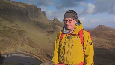
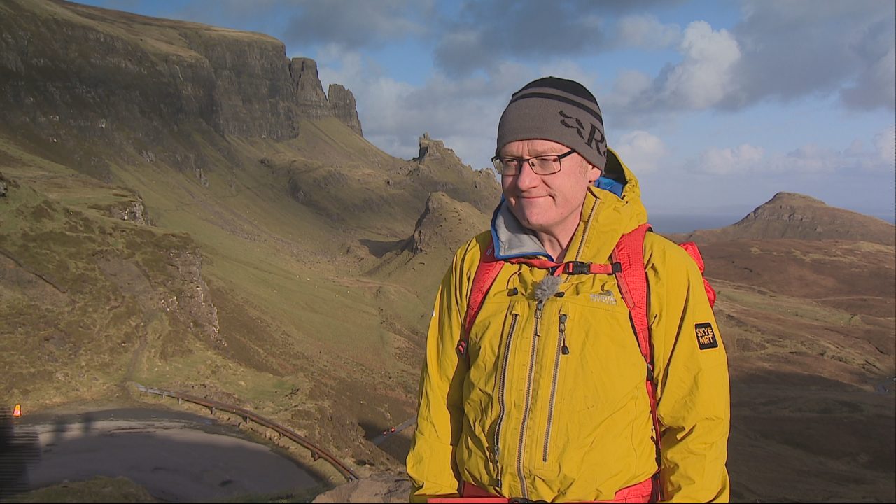
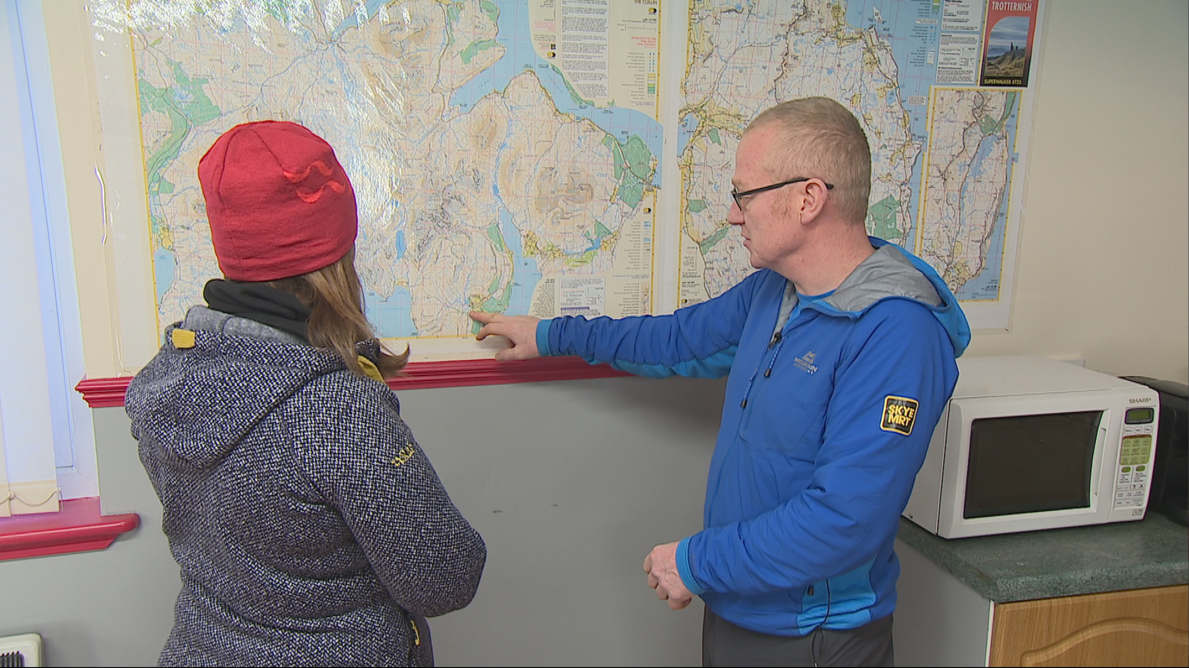
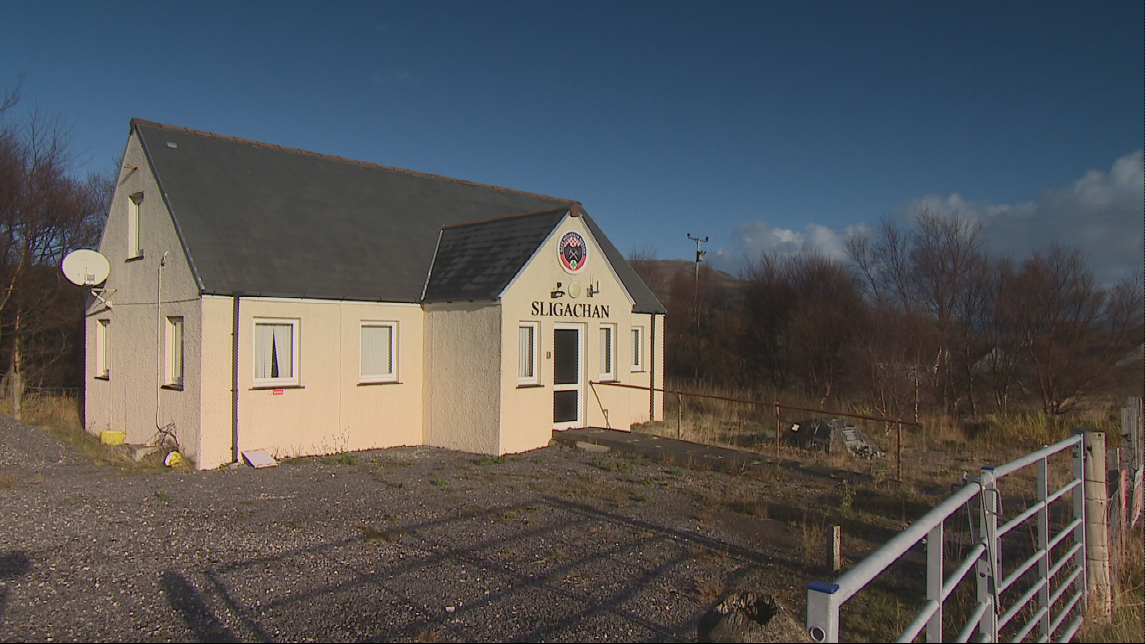
Skye Mountain Rescue leader Paddy Stephenson has urged walkers to better prepare themselves following the increase in incidents.
He says the river sections are particularly treacherous.
“There are a number of burn crossings which are dangerous to cross or are uncrossable in heavy rain. People are unlucky enough to get caught between two burns coming into spate, then they’re stuck.
“We’ve had people seriously injured getting swept off their feet.
“When it’s like that, they can’t cross them and we can’t get to them. It’s a worry.”
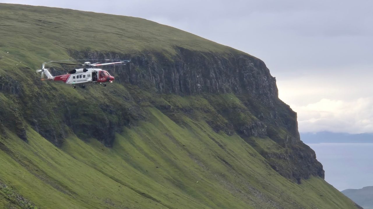
He said his busiest day began at 7.30am rescuing a group stranded overnight and did not end until 1am, with 20 people rescued across five separate incidents.
 STV News
He says the most common mistakes people make are mostly weather-related.
“The vast majority of people we rescue are European hikers,” he said. “Not inexperienced hikers, but they’ve got no experience of a maritime climate and how open and challenging this section of the route is.
“A lot of people think they can easily cover it in a day. The reality is it’s hard-going. Soft ground, not made trails.
“They run out of energy, daylight falls short of their destination – and that’s on a good day. If you add in walking in 30-40mph wind and rain, it’s not a place to be in those weather conditions.
“A lot of our European visitors expect rain only to last two or three hours then dry up. No, it can be like that for weeks here.”
 STV News
He recommends carrying a rucksack containing a fully waterproof liner bag, brightly coloured waterproof jacket and trousers, spare hats and gloves, a first aid kit, map, compass, head torch, spare batteries, power pack and navigation device.
In winter, hiking axe, crampons or microspikes should be added to kits.
He said learning traditional hillwalking skills, such as using a map and compass, would better prepare walkers for the challenge.
“A phone can lose functionality or die. A map and compass works 24/7, no batteries. It takes a wee bit of time to learn, but the more you use it, the better you get. When things go wrong, it gives you plan B. It’s proper hillcraft.
“Looking at features around you, the names of hills and watercourses, is also a far more immersive experience than trotting along following a dot on your phone. But I’m old-school.”
Paddy says he doesn’t want people to be put off, but he hopes to raise awareness of the dangers so visitors can enjoy the route responsibly.
“People just seem to jump in at the deep end these days,” he said. “They’ll go straight to gear shops, buy shoes and boots, then head up doing hard routes.”
“It’s a cracking trail and it’s big draw for people. It takes you through some really outstanding scenery and variety.
On a good day it’s not difficult to navigate between there and Storr, but when the weather is poor it becomes challenging.
“We’re trying to get the message out there; it’s not wise to go out in certain conditions.”
Follow STV News on WhatsApp
Scan the QR code on your mobile device for all the latest news from around the country