 STV
STVSpace-age science is being used in a new satellite mapping project to research how Scottish landscape dating back thousands of years can help tackle climate change across the world.
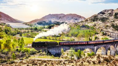
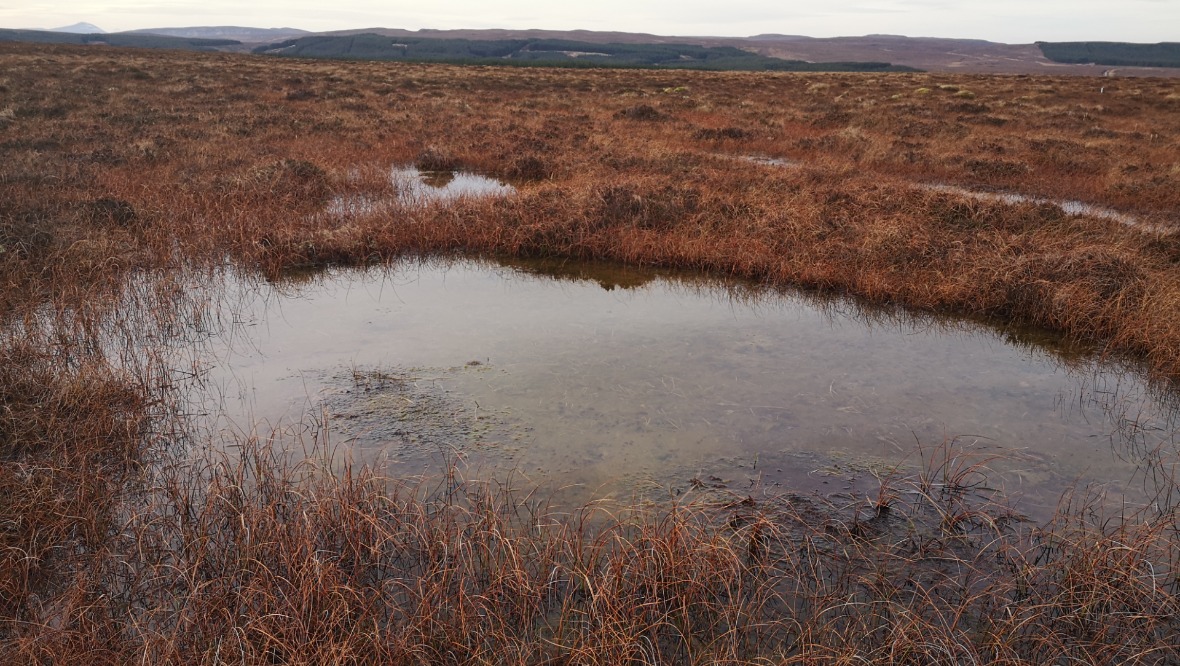
The Flow Country of Caithness has long been renowned as a site of global environmental importance.
Stretching over a land mass of 200,000 hectares, the rare blanket bog peatland is the largest of its type in Europe and home to many rare species of flora and fauna.
As mosses slowly biodegrade and break down, it can take up to 100 years to form one metre of peat – and waterlogged conditions help this material naturally capture and retain carbon dioxide.
It’s estimated Scottish peatlands store 1.7bn tonnes of carbon – twice as much as all the world’s forests.
With climate emergency being a hot topic, the peatland’s role in capturing carbon is seen as more important than ever. But if the peat dries out or degrades, it can instead release C02 into the atmosphere, contributing to the problem.
Many peatland areas were damaged by the commercial planting of trees in the 1980s, with work ongoing to try to reverse the effects over the past few decades.
Now Thurso-based Dr Roxane Andersen from the Environmental Research Institute at North Highland College UHI has been awarded almost £1m to front a team of scientists who aim to protect the peatlands in a ground-breaking five-year project.
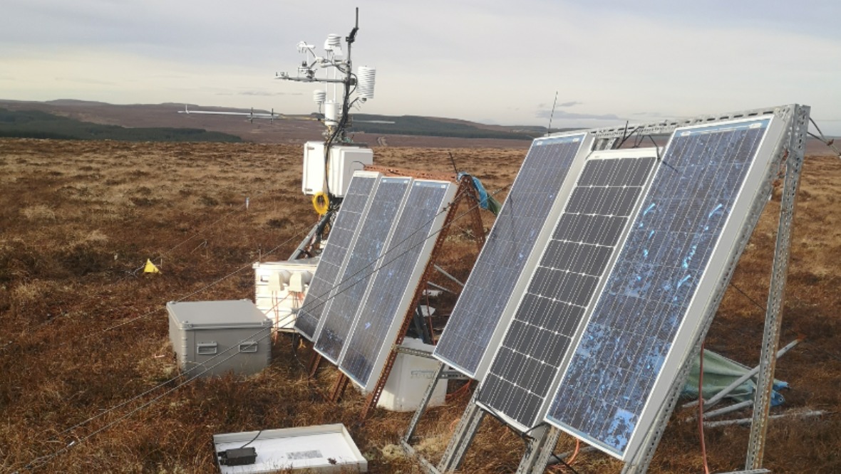
The money, totalling £986,000, is being provided by the Leverhulme Trust and will see nine researchers use cutting-edge technologies to investigate the landscape in and around Forsinard Flows in Caithness in a more long-term way than previously possible.
Dr Andersen said: “Peatlands have a vital role to play in our capacity to negate the effects of climate change and reduce our carbon emission – it’s a really easy, natural solution.
“They are doing that naturally, so if we can only push them in the right direction and make sure that we don’t make it worse by losing all the stock of carbon that’s under our feet then we are in the right place.”
He added: “Internationally in terms of global responsibility for habitat and conservation, Scotland has a really important role to play so understanding these landscapes and protecting and restoring them is really, really important.”
The project will see satellites use radar to map out a natural phenomenon called ‘bog breathing’. The surface levels of peatland change due to how much water the peat holds, rising or shrinking.
This will allow scientists to see how well restoration works are performing and look at what else could be done to help protect the area.
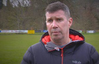
Peter Gilbert, a post-doctoral research assistant involved in the project, said: “If it’s in a degraded condition it quite often acts as a source of Co2 and Methane into the atmosphere, but when we have a system like we have here, which is near natural, it actually acts as a ‘sink’ for C02 in the atmosphere.”
The RSPB has been working on restoring degraded sections of the peatland to enhance its potential for carbon capture for almost 25 years.
RSPB warden Paul Turner said: “We look at damaged peatlands, restoring them and protecting undamaged areas but it’s also trying to get across to people that peatlands look like large open expanses but they are as important in carbon capture as forestry and woodland.”