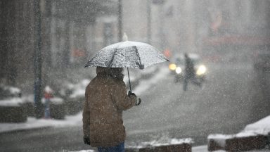
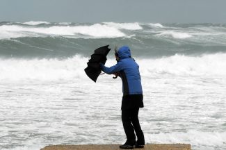
If you were asked to draw a raindrop what would you draw?
Chances are it looks a little like a cartoon teardrop? Or a pear? But did you know that a few years ago Nasa scientists released a video on the anatomy of a raindrop and debunked the ‘pear-shaped’ look.
Raindrops are actually shaped like the top of a hamburger bun – all round and bap like, like the top of your morning roll – and here’s why.
When raindrops start to form high in the atmosphere, they are made of water that collects on dust and smoke particles in clouds. At this point they start to form in a roughly spherical structure due to the surface tension of water known as the “skin”.
This makes the molecules stick together thanks to the weak hydrogen bonds that occur between water molecules.
The smaller the raindrop, the stronger the surface tension due to the flow of air around the drop.
As the raindrop falls, it loses that rounded shape, becoming more like the top half of a hamburger bun, flattened on the bottom with a curved dome top due to their speed falling through the atmosphere.
Air flow on the bottom of the water drop is greater than the airflow at the top. At the top, small air circulation disturbances create less air pressure. The surface tension at the top allows the raindrop to remain more spherical while the bottom gets more flattened out.
Even as a raindrop is falling, it will often collide with other raindrops morphing into bigger drops.
Once it gets too large though – around 4mm – it will break apart in the atmosphere back into smaller drops.
Interestingly, these raindrops can now be measured from Space, thanks to a Global Precipitation Measurement mission led by NASA and JAXA. It is an international network of satellites that provide the next-generation global observations of rain and snow to advance our understanding of Earth’s water and energy cycle.
It means we can improve forecasting of extreme events and provide accurate and timely information.
It aims to study the sizes of raindrops layer by layer within clouds with a new advanced radar and returns data on rainfall and snowfall, which can be used for weather forecasts and climate studies, as well as other applications, everywhere around the world every three hours.
Understanding the micro world of raindrops gives scientists insights into the macro world of storms.
As Dr Chris Kidd, an associate research professor at NASA, told the Telegraph in 2014: “If you can see the shape of the raindrop you can extrapolate whether a storm is increasing in its intensity or decaying.
“In the case of flooding you can use the information to advise the emergency services and make them work more efficiently.
“It is also very useful in aviation, guiding planes into airports during storm.”