 iStock
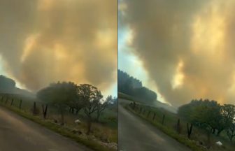
A warning has been issued for heavy rain and thunderstorms across the Scottish Borders, with areas at risk of flooding.
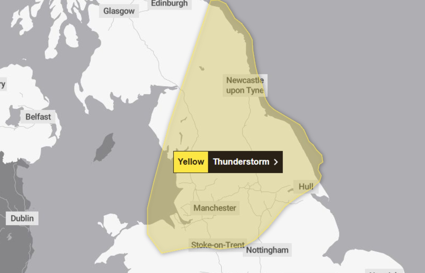
The Met Office issued a yellow weather alert for parts of South East Scotland with heavy rainfall and thunderstorms forecast.
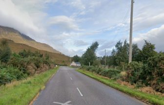
The warning, which covers much of the North of England, is in place from 5pm on Saturday until 3am on Sunday.
The Scottish Environment Protection Agency (SEPA) said heavy rainfall and the potential for disruption are expected across Roxburghshire and Berwickshire.
 Met Office
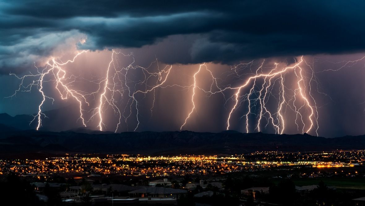
It comes after days of soaring temperatures across Scotland, with 22C recorded in Prestwick at 11pm on Friday night.
The hottest day of the year in Scotland was recorded yesterday.
The Met Office said there is a small chance that some communities become cut off by flooded roads, and that power cuts could occur and other services to homes and businesses lost.
Spray and sudden flooding could lead to difficult driving conditions and some temporary road closures.
SEPA said: “With temperatures set to soar across the country today, there’s a risk of short, heavy and thundery showers in some areas this afternoon and overnight.
“There’s a possibility of significant flooding impacts across southeast Scotland, with the Borders at highest risk.
“Impacts could include disruption to travel and flooding of land and roads.
“Isolated and minor impacts are also possible across Shetland, Caithness and Sutherland and parts of eastern and central Scotland.”

Insight Philip Petrie STV News Weather Presenter
One day you’re everyone’s hero, the next day you’re a villain. The life of a weatherman.
We’ve brought lots of sunshine and high temperatures today, with those scorching conditions lasting into the first half of the weekend, but it’s all change come Sunday as things will turn cooler and we’ll all see some spells of rain.
We sometimes hold off from using the term hot and try to lean more towards warm, but today has definitely been hot.
We’ve seen our warmest day of the year so far, with temperatures at midday breaking the current record of 25.7C at Lossiemouth on June 13. We’ve also seen our warmest day since summer 2023 with Charterhall reaching 28.5C and Aviemore hitting 28C.
Tonight will be an uncomfortable night for many of us as temperatures in many towns and cities will not drop below 18C or 19C, so a bit of a sticky and muggy night to come.
Along with that we have lengthy clear spells, which will lead to some mist and murk forming around eastern coastal parts, but for the majority it will remain clear and dry.
A murky start to the day for some on Saturday, especially in the east, but elsewhere a mixture of sunny spells with a few showers developing towards the north and north west Highlands.
For most people though, Saturday will be another fine and dry day – the main thing to note is there is more of a breeze, so the winds will take the edge off the temperatures and we will likely see highs of 28C/29C.
It’s interesting to note the average for around this time of year is around 16C/17C, so things are well above average for the time of year.
But it’s all change on Sunday as an occluded front moves in from the west, bringing with it longer spells of rain that will eventually work its way eastwards across all parts by the evening.
Furthermore, it will be feeling fresher and cooler, with temperatures down a good few degrees. We’ll see highs of 20C in the best of any sunny spells in the east through the afternoon.
Follow STV News on WhatsApp
Scan the QR code on your mobile device for all the latest news from around the country